
What is recorded here
Indicated is a fairy fort or stone ringfort in Cooldrumman Upper, County Sligo, Ireland. A NE-SW drystone wall bisects the 18m circular cashel, dividing the best-preserved SE bank from the NW slabs set 1.9m apart. The original entrance is no longer recognisable, while rubble still strewn across the SE interior marks the site's worn condition.
Situated on a slight W-facing slope in gently undulating pasture. Slightly raised circular area (diam. 18m) enclosed by a bank of rubble limestone (Wth 4.8m; int. H 0.3m). There is no fosse visible at ground level. The site is bisected by a NE-SW orientated drystone field wall. The cashel bank is best preserved to the SE of the wall with the external basal facing surviving E-SE. To the NW of the wall only the internal and external basal facing survives consisting of slabs set on edge 1.9m apart. The original entrance is not recognisable. The SE side of the interior is strewn with rubble.
Compiled by: Patrick F. O'Donovan
Date of upload: 21 April 2011
The monument record does not grant public access. Check the route and ask the landowner before entering private land.
- What survives
- Recorded monument
Places near here
 IndicatedFairy fort / stone ringfort · 201 yd
 CashelbaunFairy fort / stone ringfort · 531 yd
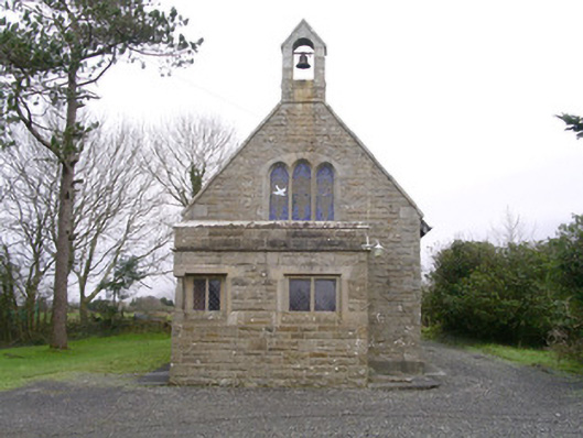 Saint Kevin's Church (Drumcliff)church/chapel · 1.1 mi
 Urlar Househouse · 1.1 mi
 Floods WoodForest · 1.3 mi
 Cat CornerWood · 1.4 mi
 Castle (in Ruins)Castle, unclassified · 1.5 mi
 BenbulbinMountain / peak · 1.5 mi
 BenbulbenMountain · 1.9 mi
 Benbulbin South-East TopMountain / peak · 2.1 mi
 CastleCastle, unclassified · 2.3 mi
 Atlantic SheepdogsHeritage attraction · 2.4 mi
Other information
Photo: Credit not shown in the picture search · Rights wording not checked; contact us if this picture should be removed