What is recorded here
Indicated is a ring-barrow in County Mayo, Ireland, holding a circular platform five metres across beside wet ground and other ancient tombs. It marks a place where people shaped the ridge long before written memory, perhaps burying someone they loved or warning travellers about the slope below. The grass and hawthorn bushes have hidden its edges for centuries, yet the faint depression and stone-topped bank still outline human intention beneath the pasture.
In pasture, located on a NW–SE ridge, at the break of slope on the SW side where the slope falls steeply to an expanse of wet ground, beyond which a possible embanked barrow (MA092-005----) is visible on a rise c. 250m to SSW. There is a megalithic tomb (MA092-007----) 200m to NE.
Circular platform (5.4m NE–SW; 5.3m NW-SE) enclosed by a fosse (Wth 1.4m at NE, 1.7m at SW) with a broadly slumped external bank (Wth 3.6m at NE, 4. 8m at SW; int. H 0.35m at NE, 0.8m at SW; ext. H 0.1m at NE, 1.4m at SW). The platform has a very slight central depression. The external bank is topped with stones at SE and SW. Grass cover, with two hawthorn bushes growing on the perimeter.
Compiled by: Jane O’Shaughnessy
Date of upload: 17 February 2022
A portal dolmen; likely dating to the Early Bronze Age. Its location on a prominent ridge and proximity to another possible barrow suggest it may be part of a wider ritual or funerary landscape.
The monument record does not grant public access. Check the route and ask the landowner before entering private land.
- What survives
- Recorded monument
Places near here
 IndicatedEnclosure · 694 yd
 CastleCastle, unclassified · 1.2 mi
 Promontory fortPromontory fort, inland · 1.2 mi
 Mannin Housefarm house · 1.2 mi
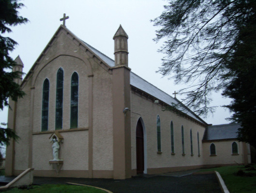 Saint Anne's Catholic Churchchurch/chapel · 1.3 mi
 Knock ShrineHeritage attraction · 2.7 mi
 Knock MuseumMuseum · 2.7 mi
 Rath Castle in ruinsCastle, tower house · 2.7 mi
 East Mayo Brigade MonumentMemorial · 3.5 mi
 I'll Send You The FareMemorial · 6.2 mi
 Oak WoodForest · 9.7 mi
 Geoffrey's WoodForest · 10 mi