What is recorded here
Situated in a prominent position on top of a hillock in upland pasture, with extensive views in all directions except upslope to NW. This site has been ploughed over but is still visible. It consists of a circular mound (diam 3.3m; H 0.08m) enclosed by a water-logged and silted fosse (Wth 3m; D 0.3m) and outer bank (Wth 2.8; ext. H 0.2m) (overall diam. 16.1m N-S: 16m E-W). The outer bank is most denuded in the NW quadrant.
Compiled by: Caimin O'Brien.
Date of upload: 22 September 2008
A Neolithic ring-barrow; dates to the early to middle Neolithic period (c. 4000–3000 BCE). It is significant as a rare surviving example of a prehistoric funerary monument in an upland setting, reflecting early burial practices and landscape use in the region.
The monument record does not grant public access. Check the route and ask the landowner before entering private land.
- What survives
- Recorded monument
Places near here
 Templeougher (site of)Church · 1420 yd
 Catholic Church of the Sacred Heartchurch/chapel · 1420 yd
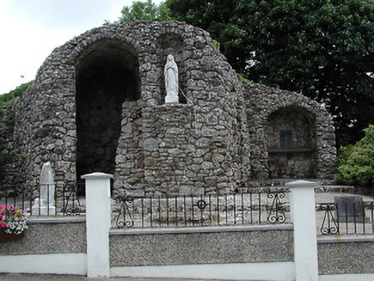 shrine/oratory/grottoshrine/oratory/grotto · 1421 yd
 Site of Cashlauncreen CastleCastle, tower house · 1.0 mi
 Moher HillMountain / peak · 1.3 mi
 Wedge tomb in Knockcurraghbola CommonsWedge tomb · 1.5 mi
 KnockmaroeMountain / peak · 2.6 mi
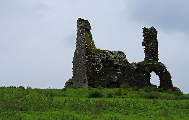 Bawn in Cullahill (glenkeen Par.)Bawn · 4.1 mi
 Killavalla WoodForest · 6.8 mi
 Gortard WoodForest · 8.6 mi
 Silvermines ViewpointViewpoint · 9.8 mi
 Our Lady Assumed into HeavenMemorial · 11 mi