
What is recorded here
An enclosure (diam. c. 45m) identified as a cropmark on aerial photographs (ASIAP (109) 17-19, 22 July 2000; GB89.T.16, July 1989) and visible OS Ortho imagery (viewed 28 January 2019). There appears to be an entrance in the S quadrant. A later field boundary runs ENE-WSW across the N portion of the enclosure. There are a number of ring-ditches (KK01-154----; KK010-156----; KK010-157----; KK010-157001-; KK010-158002-; KK010-191----; KK010-192----) c. 120 to c. 320m to the S-SW.
Compiled by: Jean Farrelly
Date of upload: 28 January 2019
The monument record does not grant public access. Check the route and ask the landowner before entering private land.
- What survives
- Recorded monument
Places near here
 CastleCastle, unclassified · 408 yd
 Connahy Ringfort (rath)Archaeological place · 679 yd
 Donaghmore Ringfort (rath)Archaeological place · 928 yd
 Donaghmore Church (in ruins)Church · 1.0 mi
 Donaghmore WellSpring · 1.0 mi
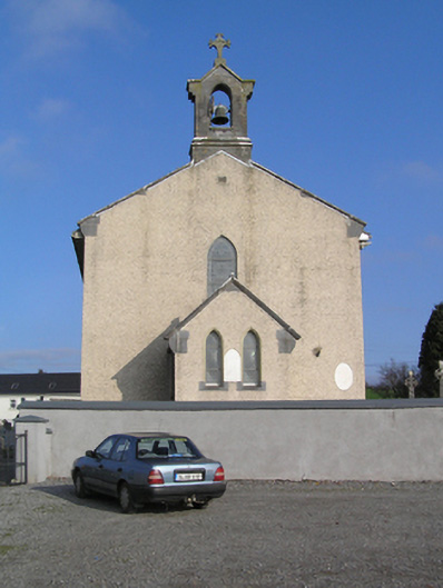 Saint Colman's Catholic Churchchurch/chapel · 1.2 mi
 Foulksrath CastleCastle, tower house · 1.2 mi
 Jenkinstown ParkForest · 3.2 mi
 Anker's IslandIsland · 3.6 mi
 Graveyard in ThreecastlesGraveyard · 3.8 mi
 Turkey OakTurkey Oak · 4.0 mi
 Emma Jane Browne-ClaytonMemorial · 4.2 mi
Other information
Photo: Credit not shown in the picture search · Rights wording not checked; contact us if this picture should be removed