What is recorded here
In tillage. Visible on Apple Maps as the cropmarks of two fosses forming a bivallate enclosure comprising a large circular, outer enclosure (estimated maximum diameter c. 130m) containing a smaller circular inner enclosure (estimated maximum diameter c. 60m) (pers. comm. C. Chambers, 25-06-2015).
Compiled by: Gearóid Conroy
Date of upload: 21-12-2015
The monument record does not grant public access. Check the route and ask the landowner before entering private land.
- What survives
- Recorded monument
Places near here
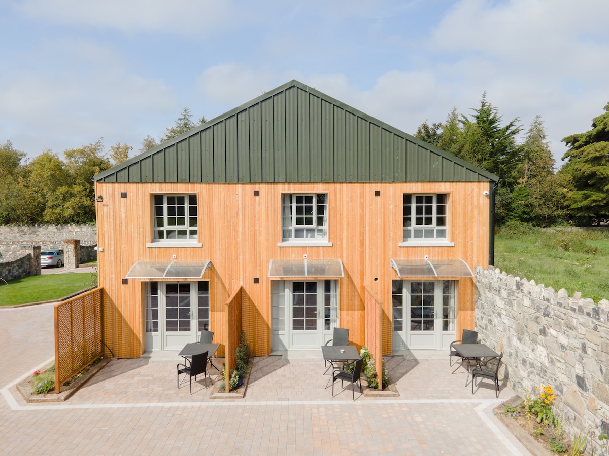 Enclosure in ConlanstownEnclosure · 639 yd
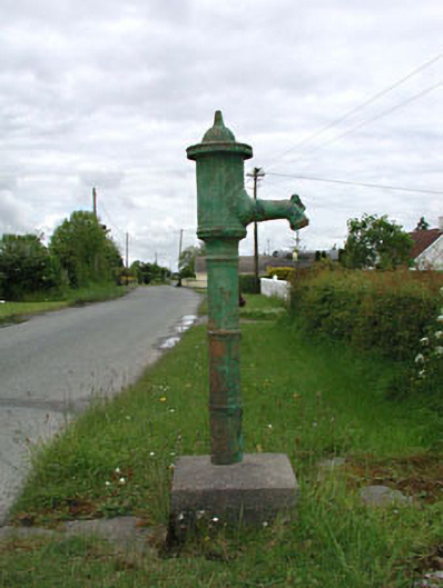 water pumpwater pump · 1473 yd
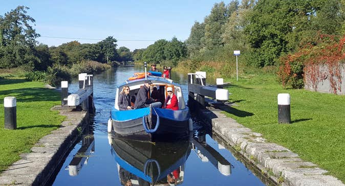 Enclosure in Kilmoney SouthEnclosure · 1610 yd
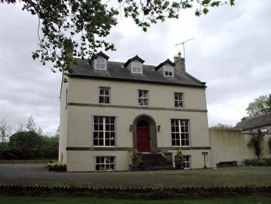 Glebe Houserectory/glebe/vicarage/curate's house · 1.1 mi
 Chair of KildareCastle, unclassified · 1.1 mi
 Bithia Mary CrokerMemorial · 3.2 mi
 Site of CastleCastle, tower house · 3.4 mi
 Community OrchardNature reserve · 3.5 mi
 Killinthomas Wood (Rathangan)Wood · 3.8 mi
 Lullymore Heritage ParkHeritage attraction · 3.9 mi
 The Fairy BowerHeritage attraction · 3.9 mi
 Grand Canal WayVisitor information · 5.7 mi