What is recorded here
Aerial photograph (GB90.BG.01) shows cropmarks of a series of fosses defining a field system, part of an extensive field system of uncertain date. It is plough-levelled.
Compiled by: Dr Gillian Barrett for the Archaeological Survey of Ireland
Date of upload: 26 May 2010
The monument record does not grant public access. Check the route and ask the landowner before entering private land.
- What survives
- Recorded monument
Places near here
 Field system in Commons (dromiskin Par.)Field system · 285 yd
 Enclosure in Commons (dromiskin Par.)Enclosure · 416 yd
 CastleCastle, tower house · 935 yd
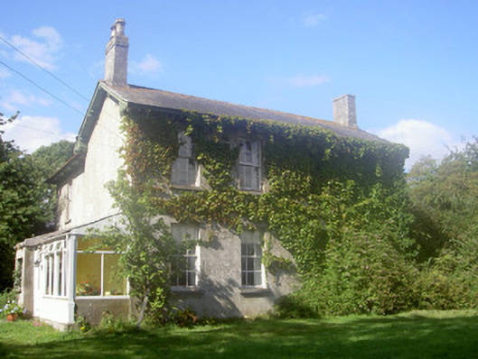 The Rectoryrectory/glebe/vicarage/curate's house · 1554 yd
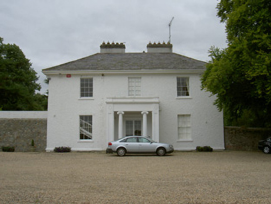 Grange Housecountry house · 1581 yd
 Long WoodForest · 1.1 mi
 Broad WoodForest · 1.3 mi
 Dunmahon CastleCastle, tower house · 1.3 mi
 Viking BoatHeritage attraction · 1.4 mi
 Photo GalleryHeritage attraction · 4.3 mi
 Bombing 1975Memorial · 4.6 mi
 Maid of ErinMemorial · 4.6 mi