What is recorded here
Comber occupies the north-west corner of Strangford Lough, a place where the Celts saw a lake of harbours and the Vikings later called it a strange fjord. Eight thousand years ago, nomadic hunters crossed from Scotland or the Isle of Man to join the abundant shellfish and small animals along this water. They chipped flint tools, ate what the lough gave them, and left a high midden of refuse at Island Hill. Farming people came later, cleared the forests, and buried their dead with food for a imagined journey beyond life. The confluence of rivers, the rounded hills, and the old stone tombs still mark that long human presence.
The official Northern Ireland record identifies this as HISTORIC SETTLEMENT: COMBER. Recorded period: LATE-MED; POST-MED; MODERN; C17TH; C18TH; C19TH. The official map point was placed at the centre of the recorded archaeological site from the source map reference.
The monument record does not grant public access. Check the route and ask the landowner before entering private land.
- What survives
- Recorded monument
Places near here
 Second Comber Presbyterian ChurchChurch · 99 yd
_-_geograph.org.uk_-_2254778.jpg?width=1280) The Gillespie MonumentMemorial · 150 yd
The Gillespie MonumentMemorial · 150 yd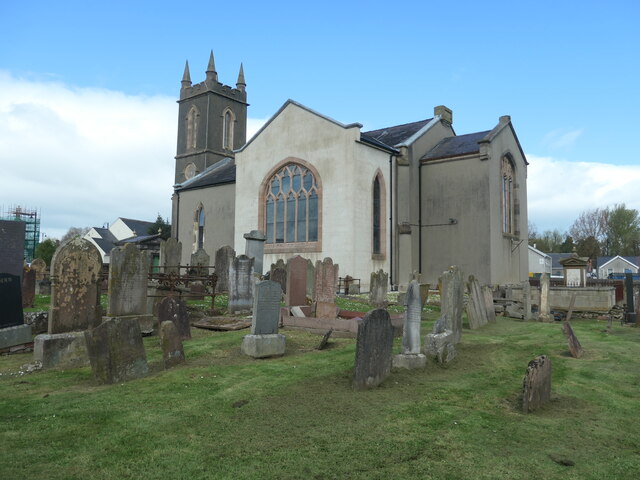 CISTERCIAN ABBEY (site of), now modern C of I church (c.f. HB 24/15/2) in Town Parks (comber)CISTERCIAN ABBEY (site of), now modern C of I church (c.f. HB 24/15/2) · 201 yd
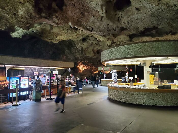 ENCLOSURE in CarnasureENCLOSURE · 429 yd
 FORTIFICATION (site of): MOUNT ALEXANDER CASTLE in Mount AlexanderFORTIFICATION (site of): MOUNT ALEXANDER CASTLE · 790 yd
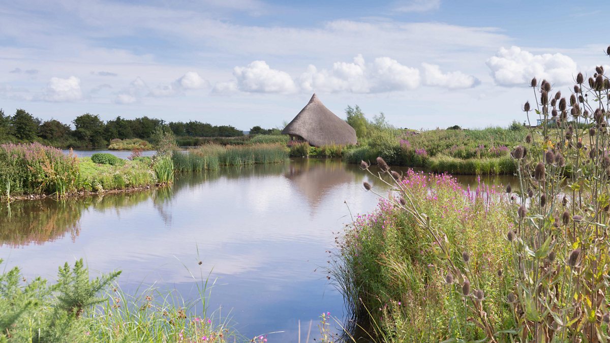 BAWN: CASTLE ESPIE in Castle EspieBAWN: CASTLE ESPIE · 2.0 mi
 Rough IslandIslet · 2.3 mi
 Scrabo HillMountain / peak · 2.5 mi
 Castle Espie Wetland CentreNature reserve · 2.5 mi
 Scrabo TowerHeritage attraction · 2.5 mi
 Kiltonga Nature ReserveNature reserve · 3.5 mi
 Post-Medieval church & graveyard in TullynakillPost-Medieval church & graveyard · 3.9 mi