What is recorded here
The remains of this monument are visible as a sub-circular raised area (diam. c. 25m) on an aerial photograph (SMR file).
Compiled by: Paul Walsh
Date of upload: 19 September 2012
The monument record does not grant public access. Check the route and ask the landowner before entering private land.
- What survives
- Recorded monument
Places near here
 Enclosure in CollinsfordEnclosure · 584 yd
 Enclosure in LugatoberEnclosure · 722 yd
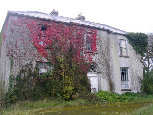 Doonally Househouse · 1.6 mi
 Kings MountainMountain / peak · 1.7 mi
 Copes MountainMountain / peak · 1.8 mi
 Church (in Ruins)Church · 2.4 mi
 Glencar Lough ViewpointViewpoint · 2.5 mi
 Castle (in Ruins)Castle, unclassified · 2.5 mi
 European BeechEuropean Beech · 3.0 mi
 Glencar IslandIslet · 3.0 mi
 Glencar WaterfallVisitor information · 3.0 mi
 Dermot & Grania's BedCave · 3.5 mi