What is recorded here
Fairy fort / ringfort in Colgagh is a fairy fort or ringfort in Colgagh, County Sligo, Ireland. The site occupies a slight south-facing slope behind a modern house and appeared as a roughly circular enclosure on the 1837 and 1912 Ordnance Survey maps. The 1912 drawing marked an interior about twenty metres across, but the ground has since been levelled and no surface trace remains.
Situated on a slight S-facing slope in rear garden of modern house. Depicted on the 1837 and 1912 editions of the OS 6-inch map as a roughly circular enclosure. On the 1912 edition the interior (diam. c.20m) is defined by hachures. The site has been levelled and there are no visible surface trace at ground level.
Compiled by: Patrick F. O'Donovan
Date of upload: 21 April 2011
The monument record does not grant public access. Check the route and ask the landowner before entering private land.
- What survives
- Recorded monument
Places near here
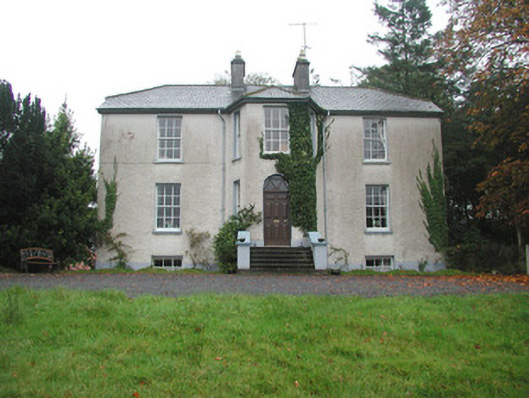 Colgagh Househouse · 811 yd
 Chapel (in Ruins)Church · 903 yd
 LisgoreyFairy fort / earthen ringfort · 1315 yd
 CashelFairy fort / stone ringfort · 1501 yd
 Court Tomb TrailWalking route · 1.1 mi
 Legganore BayBay · 1.6 mi
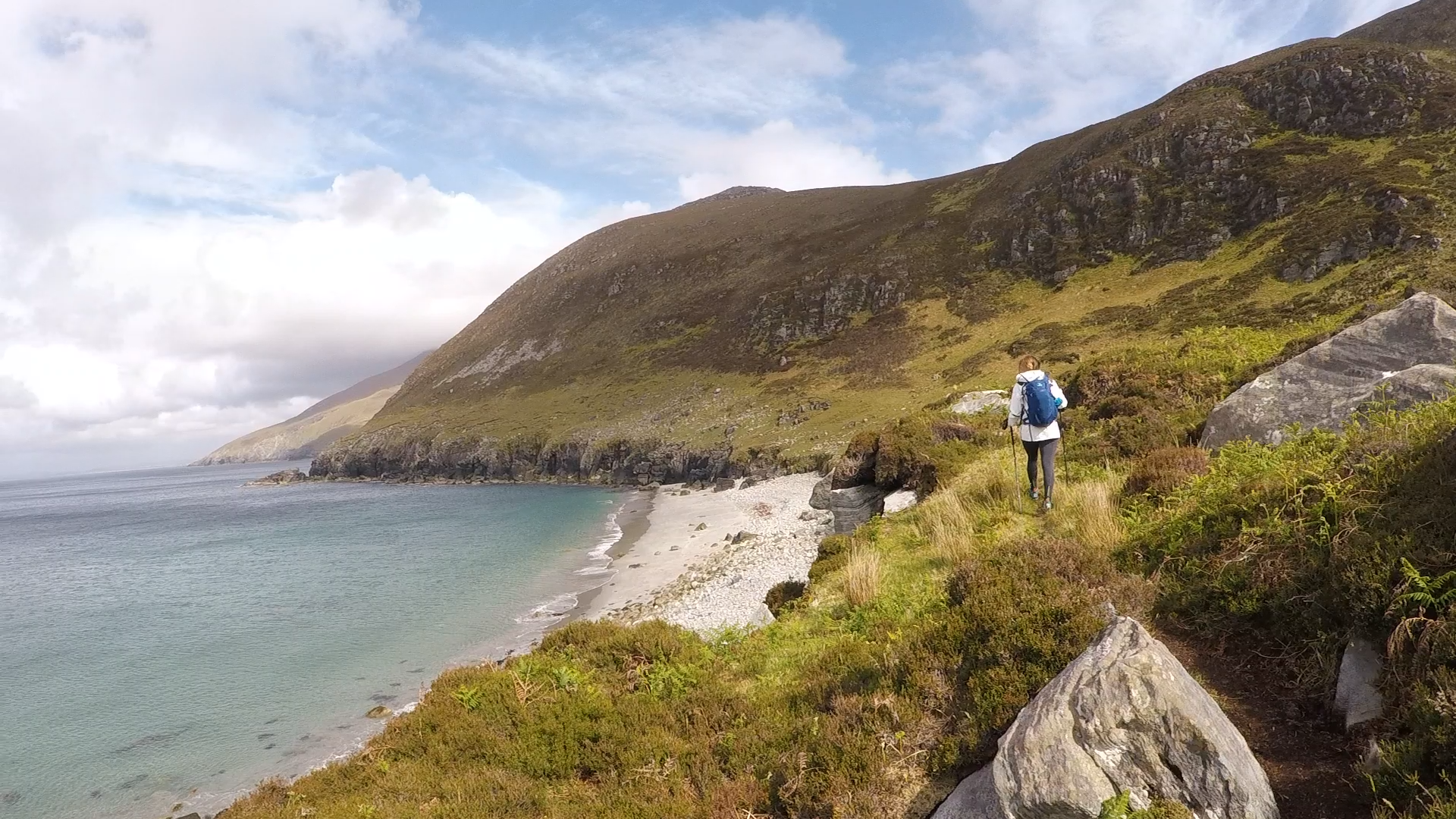 Annagh BayBay · 1.8 mi
 Annagh IslandIsland · 1.8 mi
 Swan IslandIslet · 2.0 mi
 Keelogyboy Mtn SW TopMountain / peak · 2.0 mi
 Castle PointCastle, unclassified · 2.0 mi
 HazelwoodWood · 2.2 mi