What is recorded here
In Lough Conn. An island (c. 65m N–S; c. 38m E–W), subtriangular in shape, named ‘Coarse Island’ is shown c. 230m from the E shoreline in the N half of Lough Conn on the 1838 and 1930 OS 6-inch maps. It is listed in the SMR (1991) and RMP (1997) as a possible crannog.
A drop in the lake water levels has exposed an expanse of dry land which has subsumed the island. The area is now densely covered in scrub. The original limits of the island can no longer be traced with any confidence; no material evidence, such as timbers or artificial accumulations of stones, are evident that might confirm that the island is a crannog.
A causeway-like feature (MA039-033002-) is depicted on the 1838 OS 6-inch map, connecting the island to the mainland at NW. This has also been subsumed into dryland, and overlain by a modern road/causeway.
Compiled by: Jane O’Shaughnessy
Date of upload: 4 February 2020
The monument record does not grant public access. Check the route and ask the landowner before entering private land.
- What survives
- Recorded monument
Places near here
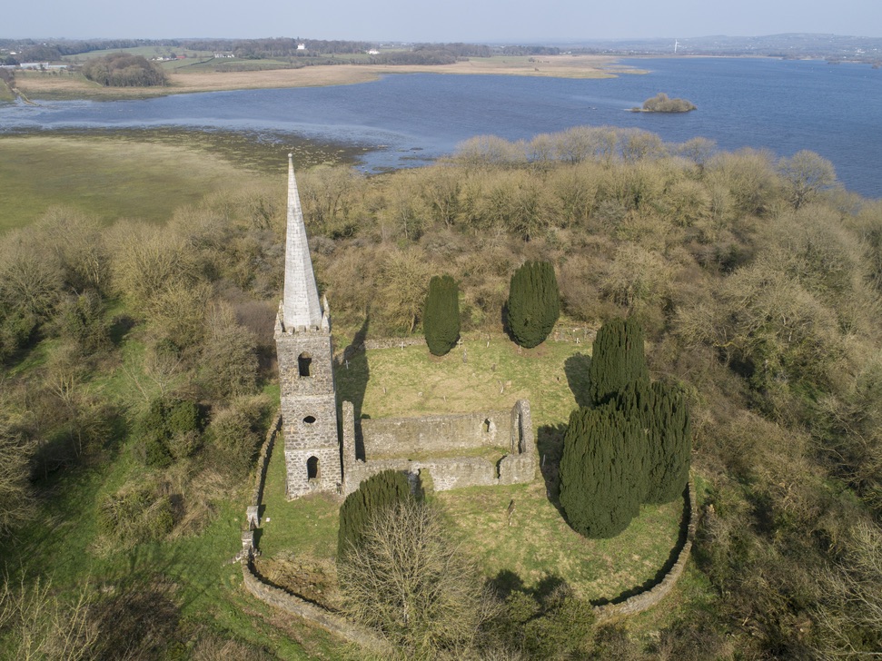 Church in Inishlee IslandChurch · 1036 yd
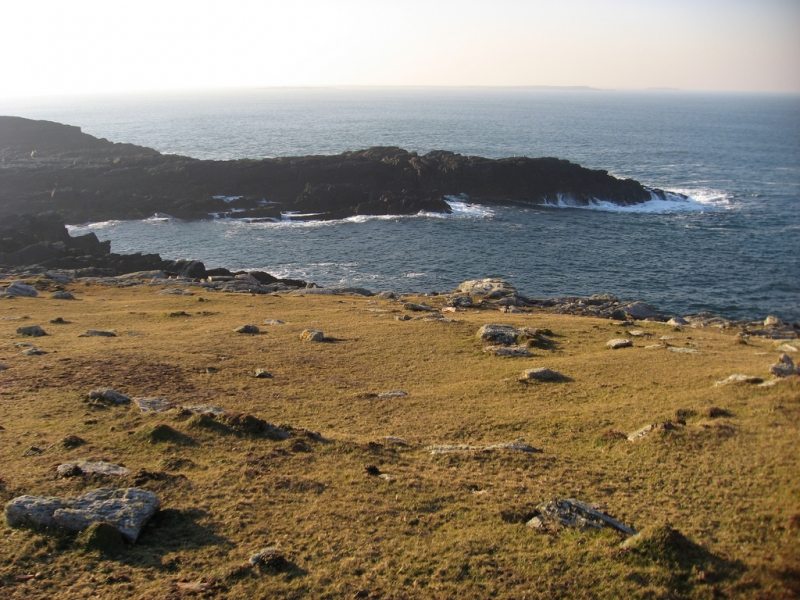 IndicatedFairy fort / earthen ringfort · 1043 yd
 RathnashuppyFairy fort / earthen ringfort · 1.0 mi
 Saint Teresa's Catholic Churchchurch/chapel · 1.0 mi
 Castle Kelly (in Ruins)Castle, motte · 1.1 mi
 Roe IslandIslet · 1.7 mi
 Cloghans CastleCastle, tower house · 1.8 mi
 Castle IslandIslet · 2.0 mi
 Battle of Ballinabattle · 4.2 mi
 Titanic Memorial ParkMemorial · 4.4 miHumbert MonumentMemorial · 4.6 mi
 Belleek WoodsWood · 5.8 mi