What is recorded here
On a gentle E-facing slope in undulating pastureland. Hachured on the 1842 and 1920 eds. of the OS 6-inch map. Only the S half of this very poorly preserved enclosure is visible, as a slightly sunken semicircle (c. 22m E-W) to the S of a later ENE-WSW field wall which bisects the enclosure. This semicircle is defined by a slight internal scarp (Wth 2m; D 0.2m) at the W and an external scarp (Wth 1m; H 0.3m) at the E. The N edge of the enclosure may be represented by a short length of earthen bank (Wth 2.5m; int. H 1m; ext. H 0.5m) lying c. 5m N of the field wall. This nettle-covered bank is overlaid by remnants of drystone wall. The enclosure is situated in the N centre of a mid-19th century racecourse (CL017-202001-).
Compiled by: Mary Tunney and Conn Herriott
Date of upload: 14 August 2023
The monument record does not grant public access. Check the route and ask the landowner before entering private land.
- What survives
- Recorded monument
Places near here
 Enclosure in CoadEnclosure · 277 yd
 Coad Churchchurch/chapel · 309 yd
 Tullan FortFairy fort / stone ringfort · 672 yd
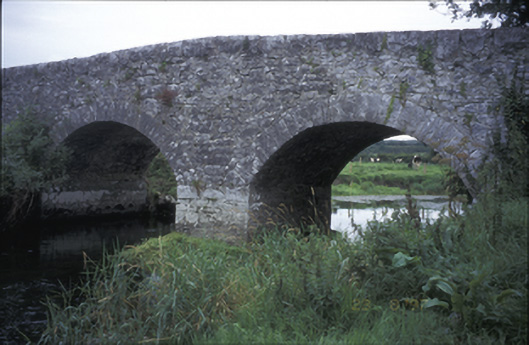 Poplar Bridgebridge · 882 yd
 ‘De Clare’s House (in ruins)’ (1842 )Bawn · 1169 yd
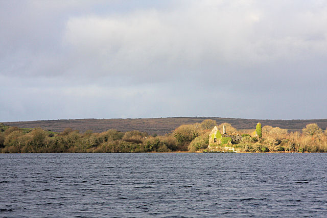 Inchiquin Castle (in ruins)Castle, tower house · 1186 yd
 Rock IslandIsland · 1346 yd
 Inchiquin IslandIslet · 1375 yd
 Fergus River CaveCave · 1.9 mi
 Battle of TullyodeaBattlefield · 3.2 mi
 Farbrega RockNamed rock · 3.9 mi
 Mullagh MoreMountain / peak · 4.3 mi