What is recorded here
Indicated is a circular cashel thirty-five metres across on a Galway rise, its drystone wall still standing while a modern gap breaks the northeast edge. The site belongs to the long human habit of building rings on open ground, perhaps for shelter, perhaps for display, perhaps for both. A field wall now crosses the western edge, proving the fort has shared its space with later hands rather than waiting untouched for discovery.
On a rise in low-lying grassland. Circular cashel (D c. 35m), in fair condition, defined by a drystone wall with traces of a shallow external fosse at S. A gap at NE appears modern. A field wall overlies the enclosing element at W.
The above description is derived from the published 'Archaeological Inventory of County Galway Vol. II - North Galway'. Compiled by Olive Alcock, Kathy de hÓra and Paul Gosling (Dublin: Stationery Office, 1999).
Date of upload: 05 August 2010
The monument record does not grant public access. Check the route and ask the landowner before entering private land.
- What survives
- Recorded monument
Places near here
 IndicatedFairy fort / ringfort · 383 yd
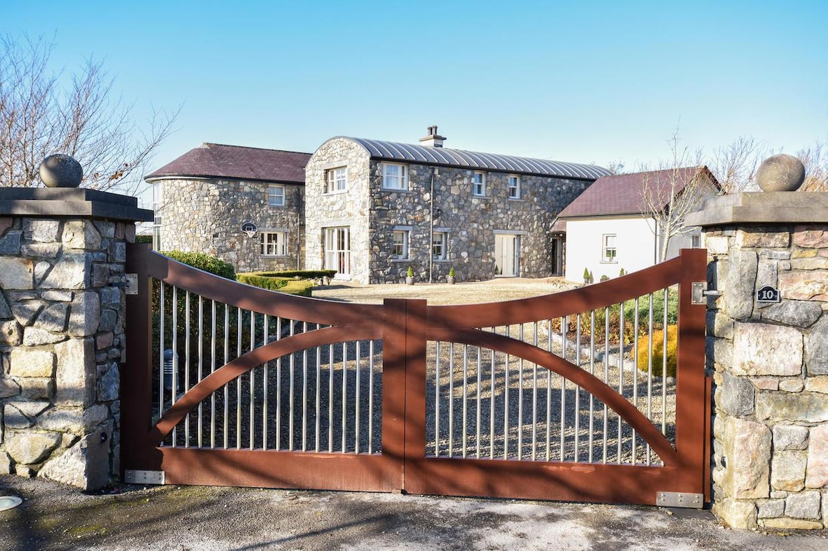 Enclosure in CluidrevaghEnclosure · 631 yd
 Castlehacket National Schoolschool · 1128 yd
 Site of CastleCastle, unclassified · 1.2 mi
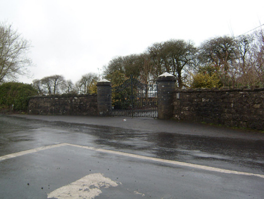 Cahermorris Housedemesne walls/gates/railings · 1.3 mi
 Kilcoona Round TowerHeritage attraction · 2.2 mi
 KnockmaaWood · 2.6 mi
 Cashlaun Feecul in ruinsCastle, unclassified · 2.9 mi
 Ballinduff BayBay · 4.0 mi
 Cregg Castle DemesneForest · 4.1 mi
 Walsh's IslandIslet · 5.8 mi
 Mass RockNamed rock · 6.0 mi