What is recorded here
Indicated is a square moated platform in County Carlow, Ireland, measuring forty-eight metres north-south and surrounded by a wet fosse four metres wide. Locals call it The Bawns, and a causeway still cuts the western edge. It may mark the lost castle recorded in the Down Survey, though no standing wall remains to prove it. The ditch still holds water, keeping the shape of a house nobody lives in anymore.
The following description is derived from the published 'Archaeological Inventory of County Carlow' (Dublin: Stationery Office, 1993). In certain instances the entries have been revised and updated in the light of recent research.
Date of upload/revision: 17 July 2007
Approximately square platform (c. 48m N-S) enclosed by wet fosse (Wth c. 4m; D 1.4-2m) with causeway (Wth 3.5m) at W. Second, possibly modern entrance at S. Low bank visible outside fosse towards SE corner, not present at S, W or W part of N sides. Known locally as 'The Bawns'. Possibly site of unlocated Down Survey castle (CW015-005----).
See attached:
CW015-004----_01 Google Earth image (imagery date 25 June 2018)
CW015-004----_02 Google Earth image (imagery date 20 March 2019)
The monument record does not grant public access. Check the route and ask the landowner before entering private land.
- What survives
- Recorded monument
Places near here
 Enclosure in FarranafreneyEnclosure · 757 yd
 Enclosure in ClosuttonEnclosure · 889 yd
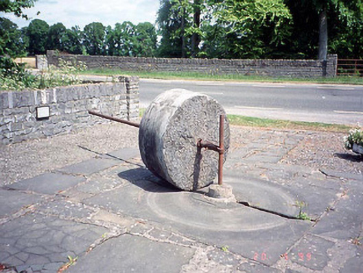 culm crusherculm crusher · 1219 yd
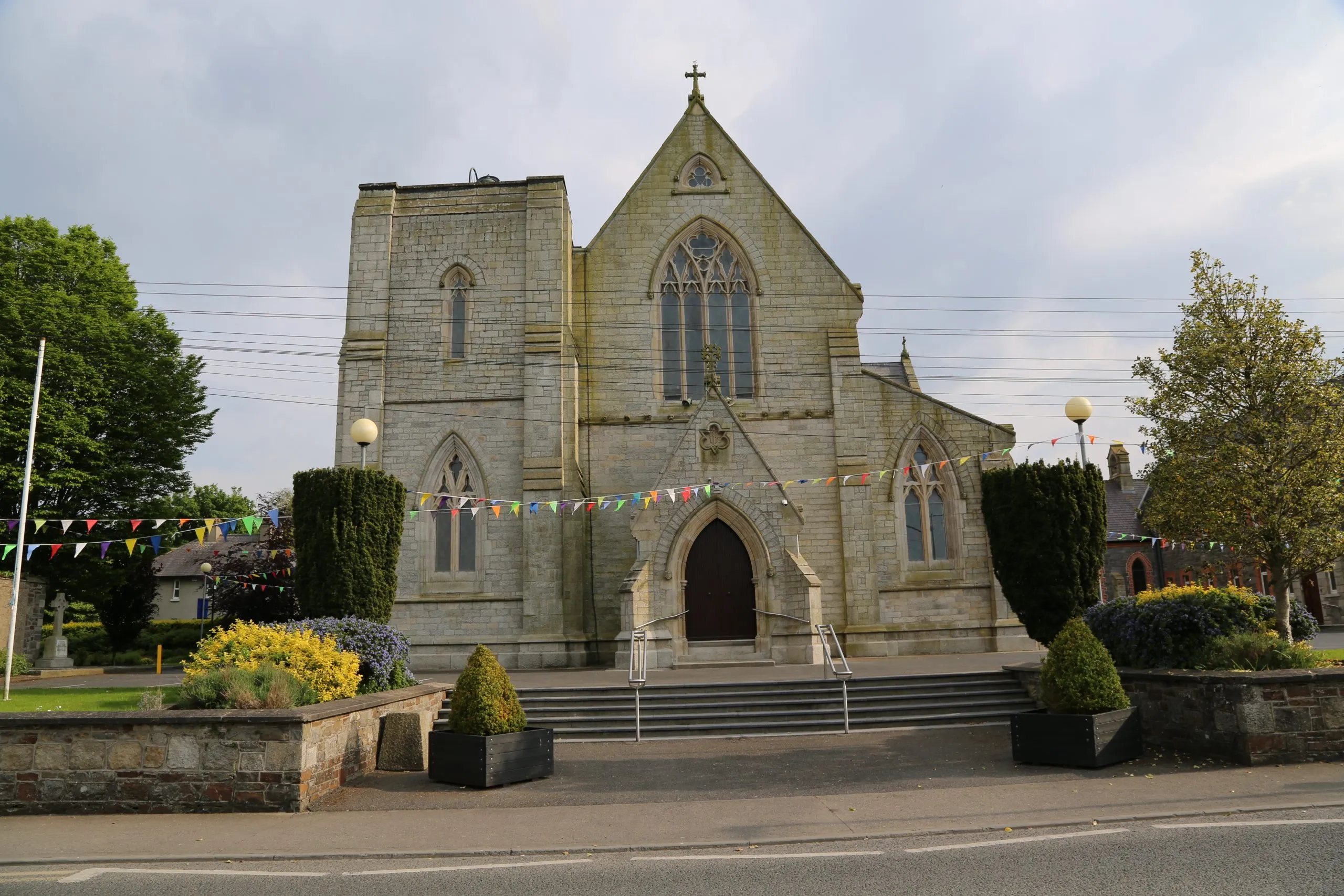 Killinane Church (in ruins)Church · 1273 yd
 Church, GraveyardChurch · 1.1 mi
 Black Castle (in ruins)Castle, tower house · 1.4 mi
 Lock Keeper's House and Lodge MillsVisitor information · 1.8 mi
 Church (in ruins), GraveyardChurch · 1.8 mi
 The Columban WayVisitor information · 2.2 mi
 Sweet ChestnutSweet Chestnut · 2.5 mi
 Dunleckny Ho.Castle, unclassified · 2.6 mi
 The Green GardenWood · 2.7 mi