What is recorded here
On a slight rise in flat pastureland overlooking bogland to W. A wide shallow curving fosse (Wth 3.5m) encloses a roughly circular area (D 97m). It is clearly visible from N through E to SSE, being partly water-filled at time of visit. No trace of it survives from SSE to SSW where it is overlain by a modern field boundary. From SSW to NNW it is also visible, though somewhat narrower and its course apparently straightened by later hands. There is an ecclesiastical building (GA028-012001-) and a CBG (GA028-012003-) in the interior. Two holy wells (GA028-010----, GA028-013----) lie 750m to NNE and 490m to SSE respectively, along the approach roads to the site. (O'Flanagan 1927, Vol. 1, 26; Gwynn and Hadcock 1970, 385)
The above description is derived from the published 'Archaeological Inventory of County Galway Vol. II - North Galway'. Compiled by Olive Alcock, Kathy de hÓra and Paul Gosling (Dublin: Stationery Office, 1999).
Date of upload: 05 August 2010
The monument record does not grant public access. Check the route and ask the landowner before entering private land.
- What survives
- Recorded monument
Places near here
 Gortnabishaun Abbey (in ruins)Ecclesiastical site · 1 yd
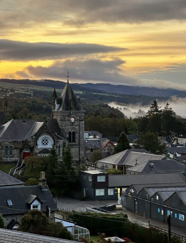 ToberlynchyHoly well · 804 yd
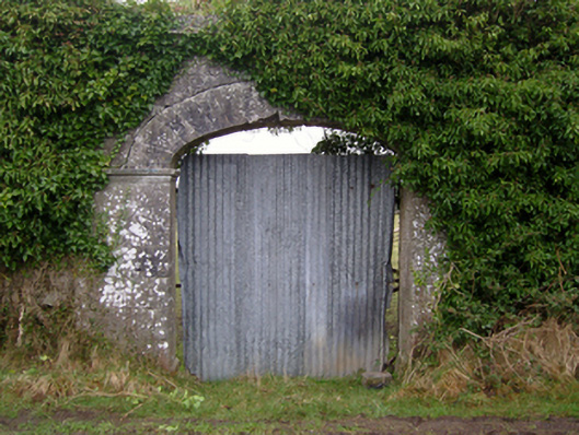 Dalganparkwalled garden · 1.1 mi
 Rockwell Househouse · 1.4 mi
 Pesooge PlantationForest · 1.7 mi
 Cregg PlantationForest · 2.2 mi
 Shrule Castle in ruinsCastle, hall-house · 2.7 mi
 Shrule CastleCastle · 2.7 mi
 Mass RockNamed rock · 4.1 mi
 Ross Errilly FriaryHeritage attraction · 5.9 mi
 Walsh's IslandIslet · 9.1 mi
 Otter IslandIslet · 9.2 mi