What is recorded here
Indicated is a fairy fort in County Mayo, an oval ring of stony earth and buried kerbing that has watched the pasture since before human memory. Cows still circle its rim at dusk, and people who enter through the broken western gap return with a strange certainty about choices they had forgotten they were making. The fort does not demand worship; it demands recognition. What you measure there measures you back.
In pasture, boxed into the S end of a small rectangular field, located on a slight rise.
Slightly raised oval area (32.7m E−W; 42.3m N−S) defined by a stony earthen bank, and enclosed by a fosse and external bank, which have been levelled on the NE arc.
The inner bank (Wth 2.7m, slumping to 4.5m in parts; int. H 0.65m; ext. 1.1m, at W) has a low slumped inner slope, largely reduced on the E half to a scarp with a low inner rim.
On the W arc, large stones protruding along the base of the internal slope; these appear to be remnants of stone kerbing. The fosse (Wth 4m at W) and external bank (Wth 2.7m; int. H 0.7m; ext. H 0.7m, at W) are well preserved at SE−NNW; at N−E they are levelled to a flat berm-like gap (Wth 10m) defined on its outer edge by a low scarp (H 0.5m); at E a field wall on a roughly N−S axis overlies the levelled outer bank.
The interior has an uneven surface. It slopes down from centre to E towards a low area/gap in the bank, which may be the location of an original entrance. There is another eroded break at SW, used as present-day access to the interior.
Portions of the exterior slope of the inner bank are quarried out on the N arc. There is a stony field clearance heap on the line of the levelled outer bank at NE.
Compiled by: Jane O'Shaughnessy
Date of upload: 7 July 2020
The monument record does not grant public access. Check the route and ask the landowner before entering private land.
- What survives
- Recorded monument
Places near here
 Cloonfane National Schoolschool · 1542 yd
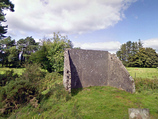 handball alleyhandball alley · 1.1 mi
 IndicatedFairy fort / earthen ringfort · 1.2 mi
 Enclosure in Lavy MoreEnclosure · 1.4 mi
 Old Cave Burial GroundArchaeological place · 2.0 mi
 Bockagh HillMountain / peak · 5.1 mi
 Casatle (ruins)Castle, unclassified · 6.9 mi
 Crunaun Castle (in ruins)Castle, unclassified · 7.5 mi
 East Mayo Brigade MonumentMemorial · 9.1 mi
 Procession Of The SoulsMemorial · 9.2 mi
 Brabazon WoodsForest · 9.2 mi
 Lough Talt TrailVisitor information · 12 mi