
What is recorded here
Indicated is a worn fairy fort in North Galway, its shallow bank and buried scarp still drawing a broad oval through the grass. Cattle may have grazed the ridge for centuries, mistaking ancient architecture for ordinary ground. The shape resists forgetting even when human memory fails, suggesting the land still marks what people stopped naming.
In undulating grassland. Poorly preserved subcircular rath (N-S 42m, E-W 36m) defined by a bank at NNE and S. A degraded scarp, overlain by a field wall from W to N, forms the enclosing element elsewhere.
The above description is derived from the published 'Archaeological Inventory of County Galway Vol. II - North Galway'. Compiled by Olive Alcock, Kathy de hÓra and Paul Gosling (Dublin: Stationery Office, 1999).
Date of upload: 05 August 2010
The monument record does not grant public access. Check the route and ask the landowner before entering private land.
- What survives
- Recorded monument
Places near here
 Crannog in Beagh (ballymoe By.)Crannog · 1.0 mi
 ShrineAltar · 1.1 mi
 R.C. ChapelChapel · 1.9 mi
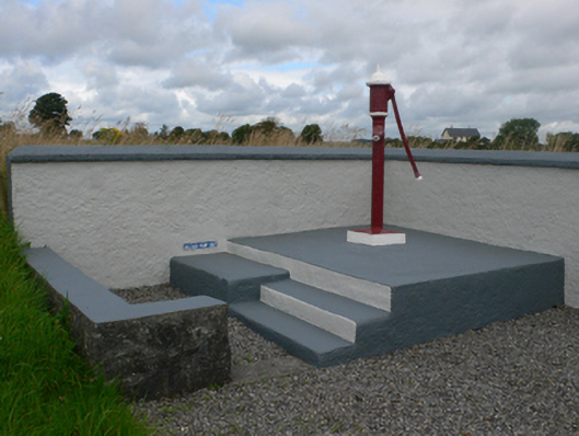 water pumpwater pump · 2.0 mi
 Castle in ruinsCastle, unclassified · 2.5 mi
 Slieve DartMountain / peak · 2.9 mi
 CastleCastle, unclassified · 4.1 mi
 Rook HillMountain / peak · 4.1 mi
 Site of Killomaine Grave YardArchaeological place · 7.8 mi
 European ashEuropean ash · 14 mi
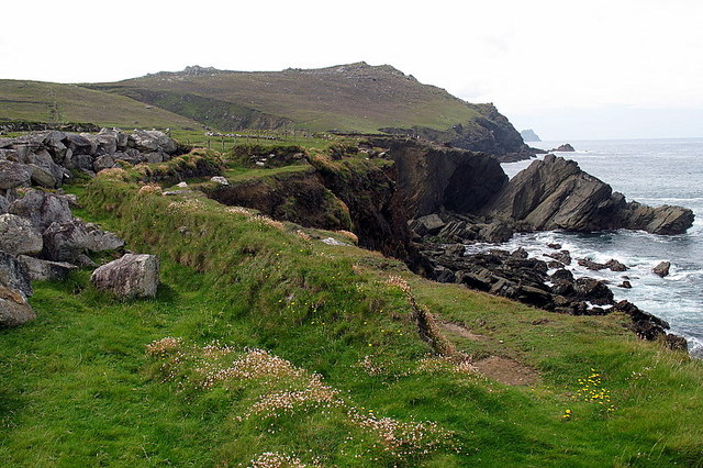 Enclosure in Clogher LowerEnclosure · 1.3 mi
 Enclosure in Beagh (ballymoe By.)Enclosure · 1.3 mi
Other information
Photo: Credit not shown in the picture search · Rights wording not checked; contact us if this picture should be removed