What is recorded here
Two conjoined platforms, one thirty-three metres long and the other twenty-eight, still stand divided by a four-metre fosse in Cloonlogue pasture. A leat once carried water from the nearby stream into the ditch, suggesting a defended home rather than mere farm boundary. The earthworks appeared only after 1840, leaving open whether medieval hands or post-1700 reclamation shaped them.
In reclaimed pasture 55m S of a stream. Not depicted on the 1840 ed. OSi 6-inch map. Shown on the 1897 ed. OSi 25-inch map as two conjoined sub-rectangular-shaped platforms (dims c. 33m NW-SE x 27m NE-SW and 28m NW-SE x 31m NE-SW) defined by a scarp which are divided by a fosse (Wth c 4m; L 27m). Outline of monument delimited by a drain at S and E is visible on Digital Globe orthoimage taken between 2011-13 and on Google Earth orthoimages. At NE angle a water channel or leat feeds into the moated fosse which is connected by a channel to the stream 100m to NE. Uncertain about antiquity of earthwork may be related to post-1700 land reclamation works, or could be the remains of a medieval moated site.
See attached Google Earth orthoimages.
Compiled by: Martin Fitzpatrick
Date of upload: 26 August 2021
The monument record does not grant public access. Check the route and ask the landowner before entering private land.
- What survives
- Recorded monument
Places near here
 OutlinedHillfort · 749 yd
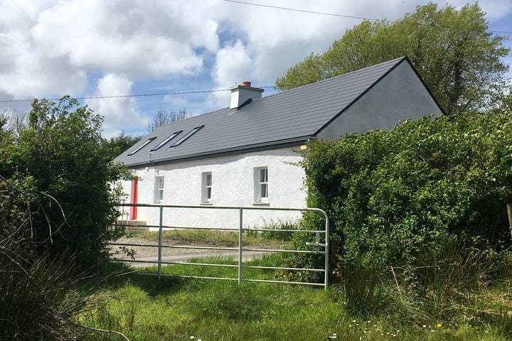 Habitation site in MountblakeneyHabitation site · 969 yd
 Kilbreedy Church (in ruins)Church · 1308 yd
 Garroose Bridgebridge · 1444 yd
 IndicatedCastle, unclassified · 1.2 mi
 Site of CastleCastle, unclassified · 1.4 mi
 Lady's WellSpring · 2.5 mi
 ToberSpring · 2.5 mi
 King John's CastleCastle · 2.8 mi
 Holy Cross CemeteryGraveyard · 3.4 mi
 Caher HillMountain / peak · 5.4 mi
 Ballinvreena LoopVisitor information · 8.6 mi