What is recorded here
Two roundwoods, probably ash, located in drain face 0.6m below the surface. The roundwoods are positioned horizontally and parallel to one another approx. 0.15m apart. It is removed from the landscape (Rohan 2012).
Compiled by: Irish Archaeological Wetland Unit, UCD.
Date of upload: 19 June, 2012
The monument record does not grant public access. Check the route and ask the landowner before entering private land.
- What survives
- Recorded monument
Places near here
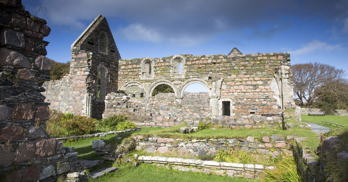 Religious house nunneryReligious house nunnery, unclassified · 1390 yd
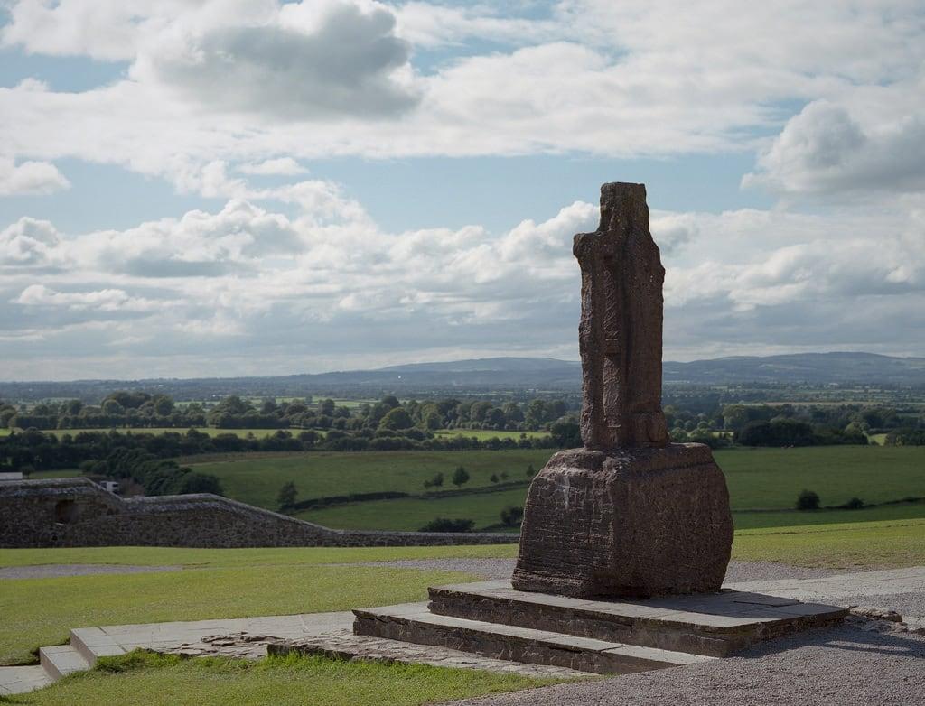 Cross (present location) in CloonburrenCross (present location) · 1401 yd
 Cross in CloonburrenCross · 1466 yd
 Cloonburren MoteCastle, motte and bailey · 1701 yd
 CastleCastle, unclassified · 1.1 mi
 Devenish IslandIsland · 1.4 mi
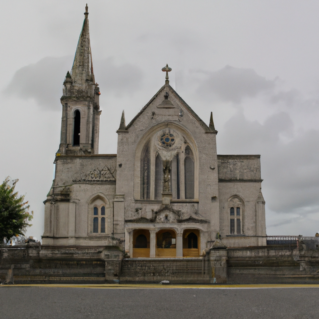 Church (in Ruins)Church · 1.7 mi
 HawthornHawthorn · 1.9 mi
 Graveyard in ClonmacnoiseGraveyard · 2.2 mi
 ClonmacnoiseMuseum · 2.2 mi
 Split HillMountain / peak · 2.5 mi
 Long IslandIsland · 2.7 mi