What is recorded here
Indicated is a circular earthen ringfort in County Cork, Ireland, where a steep bank still stands nearly four metres high around a pasture now choked with briars and ferns. The silted ditch and stone-faced edges suggest people once shaped the slope for defense or residence, while the concrete trackway cutting through the outer bank shows modern roads claiming ancient ground.
In pasture, on S-facing slope. Circular area (22m N-S; 22m E-W) enclosed by steep-sided earthen bank (max. ext. H 3.8m; max. int. H 1.9m); silted-up fosse SE->SW. Stone wall built atop bank to N. Bank stone faced internally to NW, N and ESE. Concrete trackway runs outside W bank cutting into outer bank face. Interior heavily overgrown with briars and ferns.
The above description is derived from the published 'Archaeological Inventory of County Cork. Volume 1: West Cork' (Dublin: Stationery Office, 1992). In certain instances the entries have been revised and updated in the light of recent research.
Date of upload/revision: 14 January 2009
The monument record does not grant public access. Check the route and ask the landowner before entering private land.
- What survives
- Recorded monument
Places near here
 Man-made underground passage in ClooncorbanMan-made underground passage · 253 yd
 Corn Mill, Tuck MillMilling complex · 978 yd
 Fahanacowley Castle (Site of)Castle, unclassified · 1053 yd
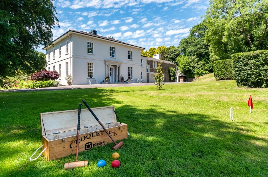 Country house in LiscubbaCountry house · 1328 yd
 schoolschool · 1.0 mi
 Ballinvard CastleCastle · 1.4 mi
 Corran HillMountain / peak · 1.5 mi
 The GlenWood · 2.8 mi
 Irish National Forestry FoundationNature reserve · 3.8 mi
 Battle of the Big Cross (1798) Memorial MonumentMonument · 4.3 mi
 Michael Collins BirthplaceHistoric birthplace · 4.4 mi
 Michael Collins MemorialMemorial · 4.7 mi