What is recorded here
Marianne and Denis watched the camera track a white shape moving through the wall of brambles. The fort had kept its chamber hidden from every human who came to measure it. They had come to measure it, but the fort had chosen to show itself to the child instead.
In level pasture. Circular area (diam. c. 30m) enclosed by earthen bank (int. H 0.7m; ext. H 1.35m) with external fosse (Wth 1.3m; D 0.55m). Most of enclosing element and all of interior covered by impenetrable overgrowth of thorn and briars.
Compiled by: Denis Power
Date of upload: 26 August 2011
The monument record does not grant public access. Check the route and ask the landowner before entering private land.
- What survives
- Recorded monument
Places near here
 post boxpost box · 801 yd
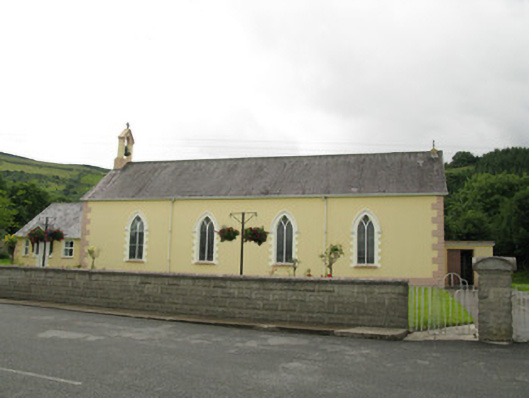 Saint Ita's Catholic Churchchurch/chapel · 843 yd
 Mass-rock in GortnaclohyMass-rock · 1446 yd
 Ballagh MountainMountain / peak · 1.3 mi
 IndicatedFairy fort / earthen ringfort · 1.5 mi
 Saint Ite's WellSpring · 1.6 mi
 Dotted outlineBawn · 1.7 mi
 Glenduff CastleCastle, tower house · 1.7 mi
 Mullaghareirk - Banane LoopWalking route · 3.5 mi
 Rock HillMountain / peak · 4.3 mi
 Garbally WellSpring · 5.9 mi
 Limerick GreenwayWalking route · 7.5 mi