What is recorded here
Indicated is a circular grass fort on a south-facing Monaghan slope, measured at thirty-two and a half metres across. It appeared as a larger embanked ring on an 1834 map, then shrank into a small D-shaped field on a later drawing, suggesting its boundary shifted or disappeared from human sight. The earth may have swallowed the wall while the fort itself remained visible only to the people and animals who still use the grass.
Located on a S-facing slope. It is depicted as a circular embanked enclosure (ext. diam. c. 45m) on the 1834 edition of the OS 6-inch map and as a small D-shaped field (dims c. 33m N-S; 33m E-W) on the 1907 edition. This is a slightly raised circular grass-covered area (diam. 32.5m E-W). It is truncated slightly by a NNW-SSE field bank towards the perimeter at E.
The above description is derived from the published 'Archaeological Inventory of County Monaghan' (Dublin: Stationery Office, 1986). In certain instances the entries have been revised and updated in the light of recent research.
Date of revision: 12 December 2017
The monument record does not grant public access. Check the route and ask the landowner before entering private land.
- What survives
- Recorded monument
Places near here
 outbuildingoutbuilding · 833 yd
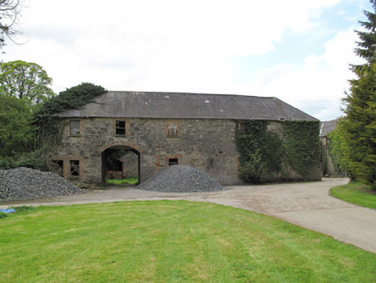 Raconnelloutbuilding · 1583 yd
 Hearth in Crosses (monaghan By; Monaghan Par.)Hearth · 1.1 mi
 Crannog in DrumreaskCrannog · 1.2 mi
 Coast RedwoodCoast Redwood · 1.7 mi
 Western RedcedarWestern Redcedar · 1.7 mi
 Monaghan County MuseumMuseum · 2.5 mi
 Rossmore MonumentMemorial · 2.6 mi
 Bawn in Roosky (monaghan By., Monaghan Par.)Bawn · 2.6 mi
 Banba GiantHeritage attraction · 3.1 mi
 Rough HillMountain / peak · 3.3 mi
 Sliabh Beagh Hotel and Tourism CentreVisitor information · 5.3 mi
Other information
Photo: Credit not shown in the picture search · Rights wording not checked; contact us if this picture should be removed