What is recorded here
Indicated is a children's burial ground in County Galway, Ireland. The name Caltragh Danane Clump appears on the 1915 map beside an unenclosed rectangular area marked by beech and sycamore trees. The ground slopes gently westward beneath open pastureland, preserving a quiet boundary between the living field and the dead.
On a low WNW-facing slope in open gently undulating pastureland, formerly part of the Clonbrock estate. Indicated on the 1838 and 1915 editions of the OS 6-inch maps as an unenclosed rectangular tree-planted area (48m NNE-SSW; 33m WNW-ESE) immediately to the W of the townland boundary. Named ‘Caltragh Danane Clump’ on the 1915 map but on the 1838 map the very large roughly rectangular field in which this feature is located is named ‘Caltragh Daniel’. The ‘Caltragh’ element of the name suggests a possible association with a children’s burial ground.
On inspection a number of beech and sycamore trees indicated the limits of the perimeter of the rectangular area on the SSW, WNW and NNE sides. The townland boundary bordering the ESE side was in a dilapidated state. The interior was clear of trees and sloped gently to the W. No grave-markers were evident.
Compiled by: Olive Alcock
Date of upload: 17 August 2023
The monument record does not grant public access. Check the route and ask the landowner before entering private land.
- What survives
- Recorded monument
Places near here
 IndicatedEnclosure · 551 yd
 Windhill fortFairy fort / ringfort · 1154 yd
 SycamoreSycamore · 1399 yd
 Sweet ChestnutSweet Chestnut · 1540 yd
 Clonbrockbridge · 1672 yd
 Clonbrock CastleCastle, tower house · 1.0 mi
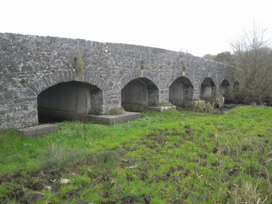 bridgebridge · 1.1 mi
 Site of Doon CastleCastle, unclassified · 2.4 mi
 Kilconnell AbbeyHeritage attraction · 5.0 mi
 Inch IslandIsland · 5.6 mi
 Battle of Aughrim Interpretative CentreMuseum · 7.0 mi
 Battle of AughrimMajor battlefield · 7.6 mi