
What is recorded here
Holy Well sits beside a stream two hundred twenty metres south of Clonbern Church, marked on the first Ordnance Survey six-inch map as a ritual site. People may have drawn water there for healing or prayer before modern concrete replaced the old structure. The well still gives water, but the hands that first touched its edge and the prayers they spoke have vanished with the earlier stones.
Beside a stream, 220m S of Clonbern Church (GA031-016----). Marked on 1st ed. of OS 6-inch map. A concrete-lined well of modern construction now occupies the site and no trace of any earlier structure survives. (O'Flanagan 1927, Vol. 1, 101-2; Melvin c. 1971, 12)
The above description is derived from the published 'Archaeological Inventory of County Galway Vol. II - North Galway'. Compiled by Olive Alcock, Kathy de hÓra and Paul Gosling (Dublin: Stationery Office, 1999).
Date of upload: 05 August 2010
Linked to Saint Bernard (Bern), the well is associated with the nearby Clonbern Church, traditionally founded by the 7th-century Irish monk and hermit Saint Bernard of Clonbern. The site was historically visited for healing and purification rituals, with water believed to have curative properties, particularly for skin ailments and general well-being.
The monument record does not grant public access. Check the route and ask the landowner before entering private land.
- What survives
- Recorded monument
Places near here
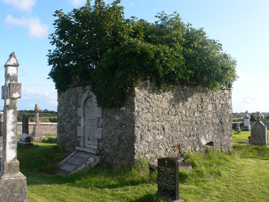 mausoleummausoleum · 202 yd
 Clonbern Parkoutbuilding · 630 yd
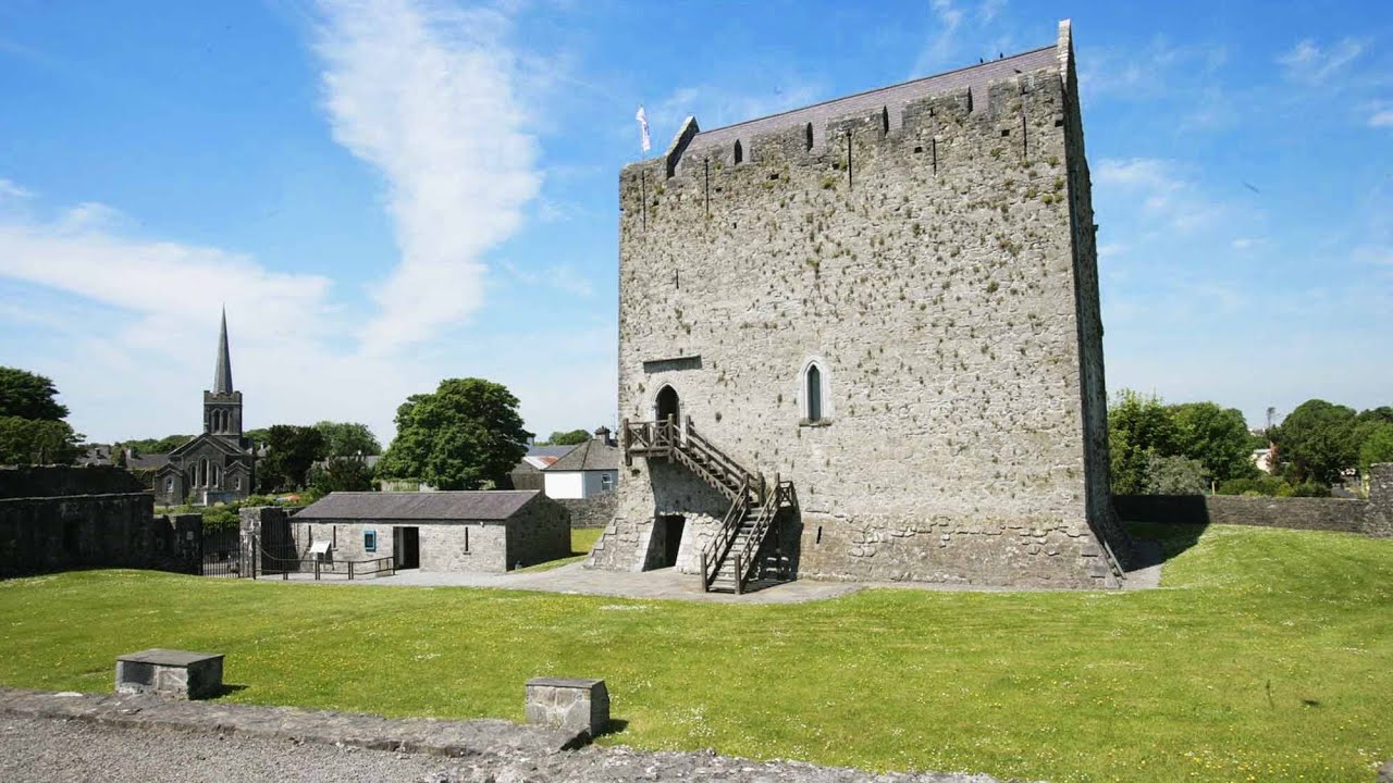 Lerhin CastleCastle · 1.6 mi
 Enclosure in TimadooaunEnclosure · 1.7 mi
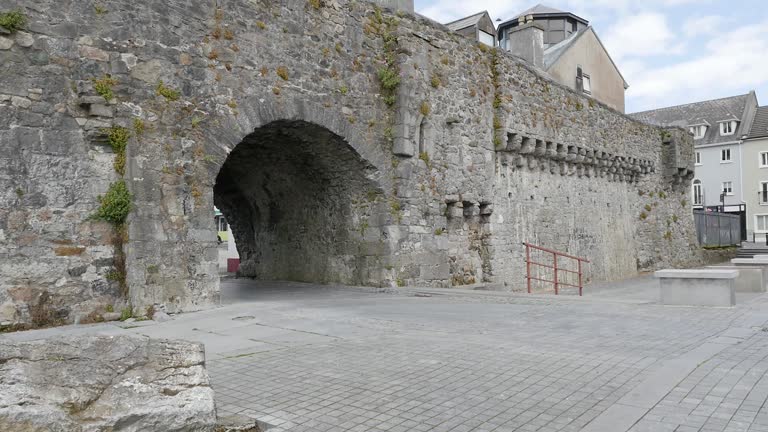 Enclosure in LerhinEnclosure · 1.7 mi
 Claddagh Castle (in ruins)Castle, tower house · 2.2 mi
 Knockmoy AbbeyHeritage attraction · 8.7 mi
 Cloonavihony WoodForest · 9.6 mi
 European ashEuropean ash · 9.8 mi
 Menlough IRAMemorial · 9.8 mi
 Site of Killomaine Grave YardArchaeological place · 11 mi
 Mass RockNamed rock · 12 mi
Other information
Photo: Credit not shown in the picture search · Rights wording not checked; contact us if this picture should be removed