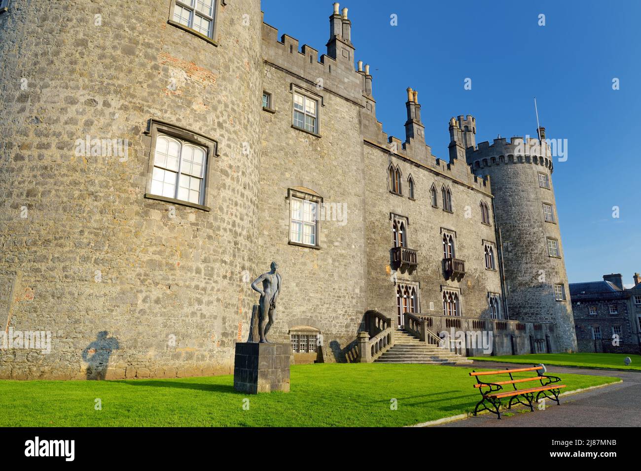
What is recorded here
Clomantagh Lower holds a ghost circle forty metres wide, visible only when crops grow unevenly above buried marks. Two straight field boundaries cut across the ancient shape, suggesting people kept farming through the memory rather than around it. A ringfort waits seventy metres to the northeast and another enclosure one hundred metres to the west, creating a small neighbourhood of forgotten rooms. The land still gives back shape when rain and sunlight touch it, inviting imagination to fill the empty middle.
In tillage. Identified as a circular cropmark (diam. c. 40m) on Google maps (pers. comm. Simon Dowling, 2 October 2018). A field boundary runs roughly E-W through the enclosure, just N of the centre, with another another field boundary running roughly N-S through the SE quadrant. A ringfort (KK013-001----) is located 70m to the NE and an enclosure (KK012-096----), also visible as a cropmark, is located 100m to the WSW.
Compiled by: Jean Farrelly
Date of upload: 22 October 2018
The monument record does not grant public access. Check the route and ask the landowner before entering private land.
- What survives
- Recorded monument
Places near here
 Fairy fort / earthen ringfort in Clomantagh LowerFairy fort / earthen ringfort · 124 yd
 Enclosure in Clomantagh LowerEnclosure · 154 yd
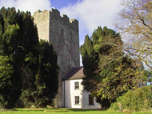 farm housefarm house · 194 yd
 CastleCastle, tower house · 236 yd
 Clomantagh Church (in ruins)Church · 359 yd
 Tubbrid Castle (in ruins)Castle, tower house · 1.1 mi
 Clomantagh HillMountain / peak · 1.3 mi
 Kildrinagh WoodForest · 2.3 mi
 John HelyMemorial · 3.1 mi
 DelaneyMemorial · 3.2 mi
 Street fieldArchaeological place · 4.3 mi
 Anker's IslandIsland · 8.1 mi
Other information
Photo: Credit not shown in the picture search · Rights wording not checked; contact us if this picture should be removed