What is recorded here
Half a kilometre of ridge and shadow, the earthwork in Clomantagh Lower still holds its shape beside the medieval church and Clomantagh Castle. Platforms, banks and ponds fit together like a forgotten room, perhaps made for ceremony, defense or ordinary life when the tower house was new. The graveyard sits at the south edge, waiting for people who have stopped naming the place.
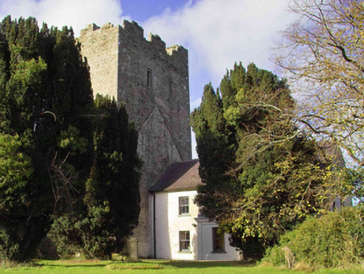
On a low hill there are a complex series of platforms, banks and ponds located to N of the medieval church of Clomantagh (KK013-003001-) and S and E of Clomantagh Castle, which is an early 16th-century tower house (KK013-002001-). A semicircular bank extends from NW-N-E of church forming a roughly circular area (max. diam. c. 60m) with the graveyard at the S. The SE portion of the interior is divided E-W and N-S by banks forming an enclosure (approx. dims. c. 45m²). It is likely that these earthworks are contemporary with the medieval church and tower house. These earthworks are visible on an aerial photograph (ASIAP (174) 18, 3 March 2001) and are also visible on DigitalGlobe satellite imagery (viewed 22 July 2019).
See attached photograph:
KK013-002005-_01 ASIAP (174) 18, 3 March 2001
KK013-002005-_02 Earthworks between church (KK013-003001-) and tower house (KK013-002001-) from tower house looking S
KK013-002005-_03 Earthworks between church (KK013-003001-) and tower house (KK013-002001-) from church looking N
KK013-002005-_04 Earthworks between church (KK013-003001-) and tower house (KK013-002001-) from church looking NW
Compiled by: Jean Farrelly
Date of upload: 22 July 2019
The monument record does not grant public access. Check the route and ask the landowner before entering private land.
- What survives
- Recorded monument
Places near here
 Sheela-na-gig in Clomantagh LowerSheela-na-gig · 64 yd
 CastleCastle, tower house · 69 yd
 Clomantagh Church (in ruins)Church · 83 yd
 farm housefarm house · 109 yd
 Fairy fort / earthen ringfort in Clomantagh LowerFairy fort / earthen ringfort · 330 yd
 Tubbrid Castle (in ruins)Castle, tower house · 1662 yd
 Clomantagh HillMountain / peak · 1.4 mi
 Kildrinagh WoodForest · 2.2 mi
 John HelyMemorial · 3.3 mi
 DelaneyMemorial · 3.4 mi
 Street fieldArchaeological place · 4.5 mi
 Anker's IslandIsland · 8.1 mi