What is recorded here
Fairy fort / earthen ringfort in Cloghoge Lower is a fairy fort or earthen ringfort in Cloghoge Lower, County Sligo, Ireland. It occupies pasture on a gentle southeast-facing slope of the Bricklieve Mountains. A substantial earthen bank encloses an oval area, while a shallow external fosse cuts into the rising ground beside it. The compact bank has a narrow flat top, broadly sloping sides and a three-metre-seven-centimetre entrance at the east-southeast.
In pasture, on a gentle SE-facing slope of the Bricklieve Mountains with excellent views. An oval area (42m NE-SW; 49.6m NW-SE) enclosed by a substantial earthen bank, with an external fosse evident SE-NW. The bank (Wth 3.5m; int. H 0.6m; ext. H 1.15m) is compact and well defined, with a narrow flat top and broadly sloping sides. It appears to be primarily earthen but incorporates some stone. A field boundary wall, on a NE-SW axis, overlies the bank NW-NNE, respecting its curve. The shallow fosse (Wth 2m; D 0.35m) is cut into gently rising ground. Its outer edge is quite sharply defined SW-W where it was incorporated into the line of a now disused field boundary. The gentle slope down from W to E in the interior is broken by a central level area defined NNW-SE by a slight scarp (L c. 17m; H 0.6m). The entrance (Wth 3.7m) is at ESE.
The above description is derived from the published 'Archaeological Inventory of County Sligo' compiled by Ursula Egan, Elizabeth Byrne, Mary Sleeman with Sheila Ronan and Connie Murphy (Dublin Stationery Office, 2005).
Date of upload: 18 January 2008
The monument record does not grant public access. Check the route and ask the landowner before entering private land.
- What survives
- Recorded monument
Places near here
 Enclosure in Cloghoge LowerEnclosure · 481 yd
 Enclosure in Carrowkeel (tirerrill By., Templevanny Ed)Enclosure · 543 yd
 Bricklieve MountainsMountain / peak · 1212 yd
 Treanscrabbagh caveCave · 1561 yd
 Castle BaldwinCastle · 1.0 mi
 Castlebaldwincastle/fortified house · 1.0 mi
 Bricklieve Castle (in Ruins)Castle, unclassified · 1.3 mi
 Carricknahorna EastMountain / peak · 1.4 mi
 Annaghgowla IslandIslet · 1.7 mi
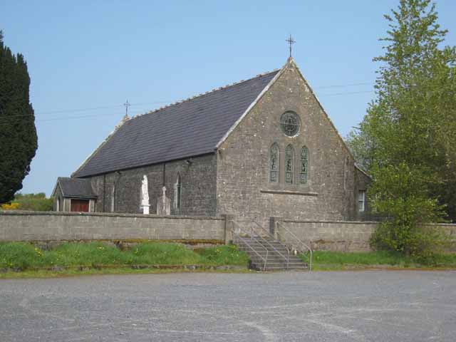 Saint Patrick's Catholic Churchchurch/chapel · 1.7 mi
 InishmoreIslet · 2.1 mi
 School CaveCave · 2.2 mi