
What is recorded here
Enclosure in Carrowkeel (tirerrill By., Templevanny Ed) is an enclosure in Carrowkeel (tirerrill By., Templevanny Ed), County Sligo, Ireland. It occupies a narrow limestone terrace on the lower slopes of the Bricklieve Mountains, overlooking pasture near Lough Arrow. The roughly D-shaped site contains a semicircular annexe and sits within a broader field system that includes a rectangular enclosure, two raths and a megalithic tomb.
On a narrow terrace, broken by limestone pavement, on the lower NE-facing slopes of the Bricklieve Mountains, overlooking undulating pasture bordering the shores of Lough Arrow. A roughly D-shaped area (c. 25m NE-SW; c. 25.5m NW-SE) defined on the straight NE side by a low scarp (H 0.4m), on the SE side by the remnants of a field boundary wall that continues away from the enclosure to SSW and ENE, from SSW-WNW by a gently curving inward facing stony scarp (H 0.7m) and WNW-N by a low stony bank. The interior is uneven and strewn with stone; the NE half is at a slightly lower level than the remainder with the change of level marked by a stony band, possibly the remains of a field boundary. Attached externally at SW is a semicircular annexe (10.6m NE-SW; 11m NW-SE) defined SSW-WNW by a substantial inward-facing scarp (H 0.8m) cut into rising ground. The scarp peters out at the NW end leaving a gap (Wth 4m) between it and the enclosure wall. There is a field boundary c. 5m to NE of the enclosure. The enclosure is within a field system (SL040-032002-). A rectangular enclosure (SL040-033001-) and two raths (SL040-034----; SL040-037----) are visible downslope to NE, E and ESE. An unclassified megalithic tomb (SL040-229----) lies c. 150m to NNW.
The above description is derived from the published 'Archaeological Inventory of County Sligo' compiled by Ursula Egan, Elizabeth Byrne, Mary Sleeman with Sheila Ronan and Connie Murphy (Dublin Stationery Office, 2005).
Date of upload: 18 January 2008
The monument record does not grant public access. Check the route and ask the landowner before entering private land.
- What survives
- Recorded monument
Places near here
 Enclosure in Cloghoge LowerEnclosure · 234 yd
 Indicated (1838).Fairy fort / stone ringfort · 634 yd
 Bricklieve MountainsMountain / peak · 1419 yd
 Castle BaldwinCastle · 1552 yd
 Castlebaldwincastle/fortified house · 1553 yd
 Treanscrabbagh caveCave · 1.1 mi
 Annaghgowla IslandIslet · 1.4 mi
 Carricknahorna EastMountain / peak · 1.4 mi
 Bricklieve Castle (in Ruins)Castle, unclassified · 1.5 mi
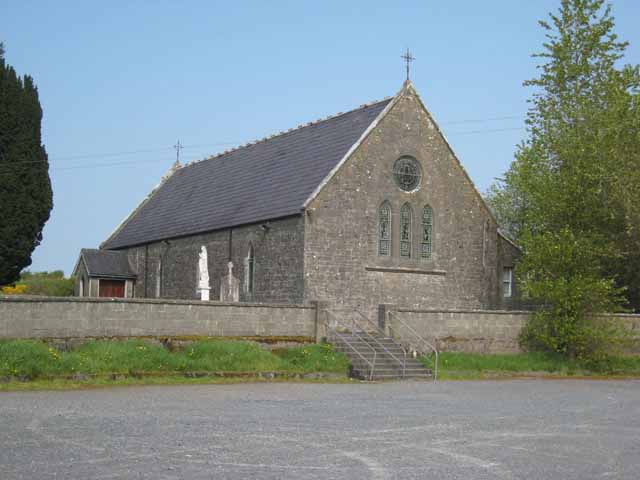 Saint Patrick's Catholic Churchchurch/chapel · 1.6 mi
 InishmoreIslet · 1.8 mi
 School CaveCave · 2.5 mi
Other information
Photo: Credit not shown in the picture search · Rights wording not checked; contact us if this picture should be removed