What is recorded here
Cloghaviller held a well-shaped limestone pillar one metre high and sixty centimetres wide when described in 1943. That clear shape may have marked a boundary, honoured a loss or simply resisted forgetting. The stone has vanished from modern aerial views, denying even the chance to measure how much of its life has already been lost.
Standing stone described in 1943 as following; 'This is well shaped limestone pillar measuring 3' 3" [1m] high, 2' [0.6m] wide and 1' [0.33m] thick' (O'Kelly 1942-3, 171-2). No surface remains visible today on Digital Globe aerial photograph.
Compiled by: Caimin O'Brien
Date of upload: 24 February 2020
The monument record does not grant public access. Check the route and ask the landowner before entering private land.
- What survives
- Recorded monument
Places near here
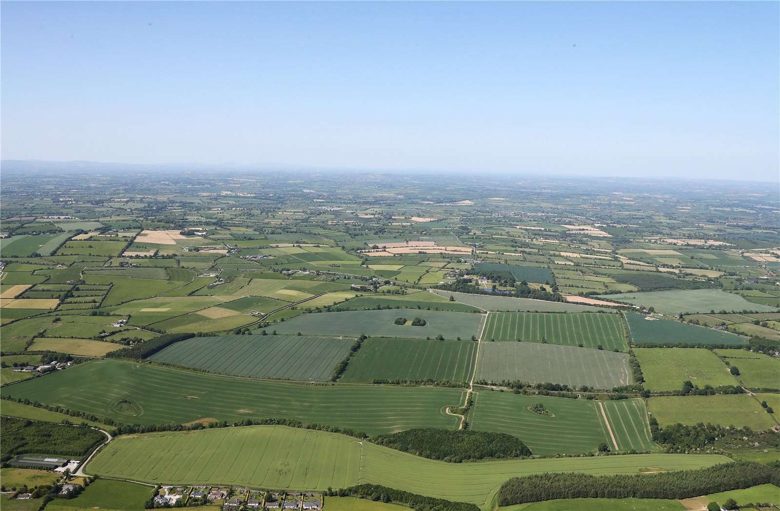 Earthwork in BallinardEarthwork · 442 yd
 Castle (in ruins)Castle, unclassified · 565 yd
 Enclosure in BallinardEnclosure · 834 yd
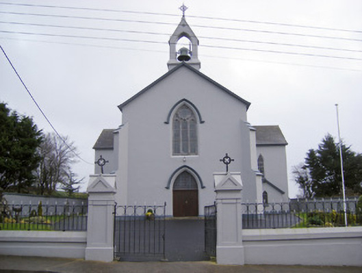 Catholic Church of the Sacred Heartchurch/chapel · 1171 yd
 Cloughansoun Bridgebridge · 1.0 mi
 Ballynamona Castle (Site of)Castle, unclassified · 1.9 mi
 Kilteely HillMountain / peak · 2.2 mi
 St. Patrick's WellSpring · 2.3 mi
 Flat cemetery in Knockainy WestFlat cemetery · 3.6 mi
 KnockseefinMountain / peak · 4.5 mi
 St Patrick's WellSpring · 6.9 mi
 Ballinvreena LoopVisitor information · 9.3 mi