What is recorded here
On a slight rise on the floor of a NW-SE valley at the bottom of the S-facing slope of Rathcroghan ridge. Two orthostats indicate the S wall of an E-W gallery (L c. 2.7m), while a third forms the jamb at W. Two other stones to the W may be a further chamber of the gallery. (Knox 1914a, 37-8; de Valera and Ó Nualláin 1972, 35; Herity 1983, 131, Glenballythomas 23; Waddell 1983, 33, No. 17)
This is a National Monument in state ownership: No. 473
Compiled by: Michael Moore
Date of upload: 24 August 2010
See linked document with details from Ruaidhrí de Valera and Seán Ó Nualláin, Survey of the Megalithic Tombs of Ireland. Volume III. Counties Galway, Roscommon, Leitrim, Longford, Westmeath, Laoighis, Offaly, Kildare, Cavan. (Dublin: Stationery Office, 1972).
Portal dolmen; dates to the Neolithic or Early Bronze Age. Its orientation and positioning within the landscape suggest ritual or ceremonial significance, typical of megalithic tombs in the region.
The monument record does not grant public access. Check the route and ask the landowner before entering private land.
- What survives
- Recorded monument
Places near here
 IndicatedFairy fort / earthen ringfort · 177 yd
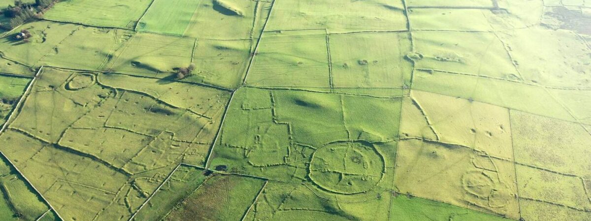 RelignareeConcentric enclosure · 545 yd
 CastlerubyCastle, unclassified · 1.3 mi
 Ancient RoadRoad, road/trackway · 1.5 mi
 RoadRoad, road/trackway · 1.6 mi
 European ashEuropean ash · 1.7 mi
 ToberagullaSpring · 1.7 mi
 Cruachan Aí Heritage CentreMuseum · 2.5 mi
 GortnacushlaunCastle, unclassified · 4.1 mi
 War of Independence Commemorative Military MemorialMemorial · 5.0 mi
 Silver IslandIslet · 6.5 mi
 Workhouse MemorialMemorial · 7.1 mi