What is recorded here
On a NNW-SSE ridge, the base of which has been stripped of topsoil from NE-WSW. This standing stone (H 1.35m; base Wth 1.15m; max. base T 0.3m) is aligned NE-SW and is roughly rectangular in plan. It leans at an angle of c. 40 degrees to the NW. Packing stones are visible at the base of its E face and there is another one at the base of its W face. Some topsoil has been dumped within 20m of it. (McCaffrey 1952, 212, no. 41)
Compiled by: Olive Alcock
Date of upload: 16 December 2019
The monument record does not grant public access. Check the route and ask the landowner before entering private land.
- What survives
- Recorded monument
Places near here
 Ballymanagh Ho.House, 18th/19th century · 354 yd
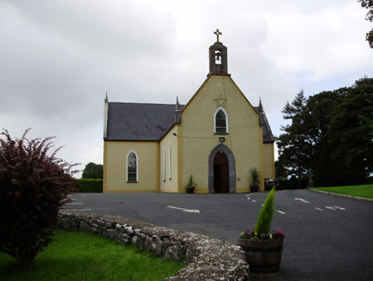 Saint Killian's Catholic Churchchurch/chapel · 382 yd
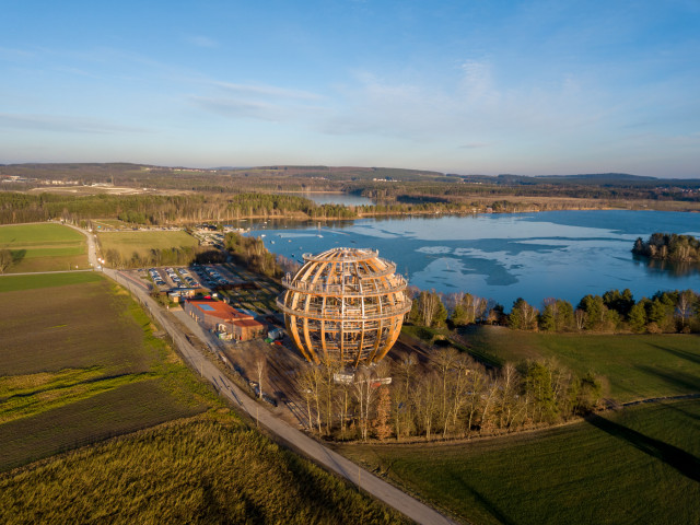 Field system in BallynascraghField system · 542 yd
 Man-made underground passageMan-made underground passage · 554 yd
 CarnanthomasCastle, unclassified · 846 yd
 Cregg Castle (in ruins)Castle, tower house · 1.1 mi
 Moyard WoodWood · 4.2 mi
 Blake's IslandIslet · 5.0 mi
 Kilcornan ForestWood · 6.5 mi
 Drumacoo Monastic SiteHeritage attraction · 8.1 mi
 MweenisharanIslet · 9.6 mi
 Structure in BallynascraghStructure · 663 yd