What is recorded here
Cliff-edge fort in Loghill (shanid By.) stands on the south bank of the Glashanagark River in County Limerick, Ireland. Its circular enclosure measured about twenty metres across when mapped in 1923, but woodland and scrub have since swallowed most of it. A steep northern drop fell toward the river, while a scarped edge and external ditch guarded the rest. Whoever built it chose a place where the land itself became half the defence.
On the S bank of the Glashanagark River. The monument, which is depicted as an embanked circular enclosure (diam. c. 20m) on the 1923 OS 6-inch map, is now covered by impenetrable woodland and scrub. Partial access on its E side suggests a level interior defined on its N side by a steep fall of ground down to the river bank, and elsewhere defined by a scarped edge (ext. H 2.6m) with an external fosse (D 0.9m; Wth 3.6m). At E and W the fosse is abutted by an E-W field boundary.
Compiled by: Denis Power
Date of upload: 26 August 2011
The monument record does not grant public access. Check the route and ask the landowner before entering private land.
- What survives
- Recorded monument
Places near here
 bridgebridge · 215 yd
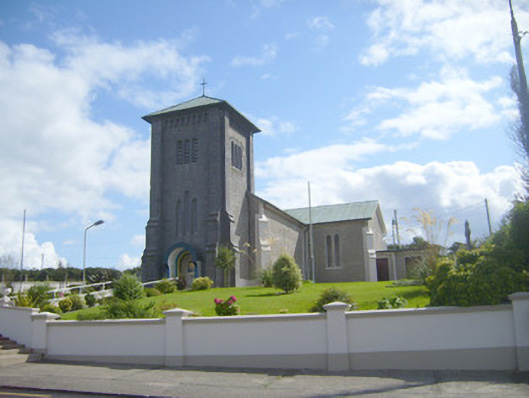 Catholic Church of the Assumptionchurch/chapel · 477 yd
 Grave YardGraveyard · 497 yd
 Enclosure in Loghill (shanid By.)Enclosure · 672 yd
 Loghill HoCastle, unclassified · 726 yd
 Monterey CypressMonterey Cypress · 1.7 mi
 Prospect HillMountain / peak · 2.1 mi
 Castle (Site of)Castle, unclassified · 2.7 mi
 Boatman's PointHeadland · 3.0 mi
 Labasheeda PointHeadland · 3.1 mi
 TobercloonaghSpring · 3.2 mi
 Labasheeda QuayVisitor information · 3.2 mi