What is recorded here
Fairy forts are human ringforts misnamed by later folklore. In Cleggill, a low earth-and-stone bank once enclosed a rectangular pasture ridge above wet ground. People may have lived there, watched the valley, or kept animals from the floodwater. Farming and drainage have since removed the shape, leaving only the memory of a boundary drawn across living land.
On a W-facing slope in pasture overlooking an area of low-lying, wet ground. A report in 1975 (SMR file) recorded a subrectangular raised area (c. 55m NW-SE; c. 34m NE-SW) enclosed by a low bank of earth and stone with an external fosse, which had been deepened and incorporated into a field drain. The original entrance may have been at NE. It has since been levelled and is not visible at ground level.
Compiled by: Patrick F. O'Donovan
Date of upload: 26 August 2011
The monument record does not grant public access. Check the route and ask the landowner before entering private land.
- What survives
- Recorded monument
Places near here
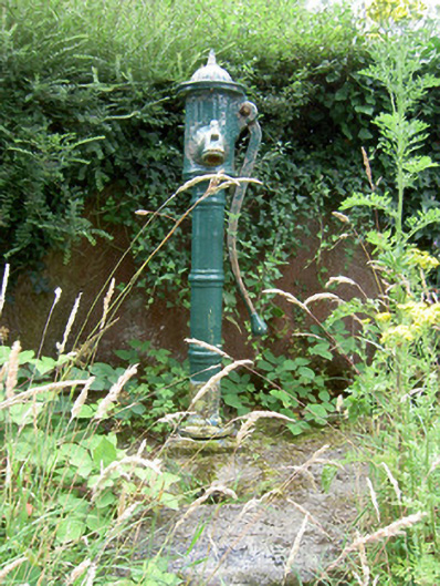 water pumpwater pump · 779 yd
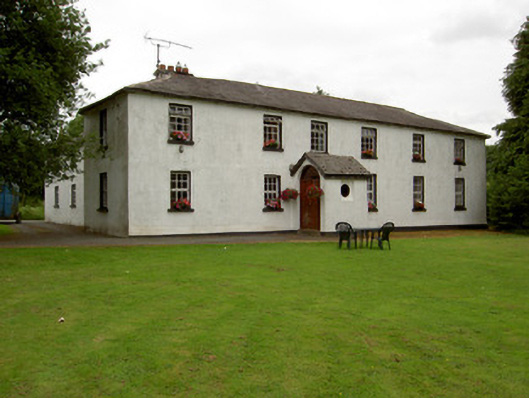 Lisnabo Schoolschool · 847 yd
 IndicatedFairy fort / earthen ringfort · 859 yd
 Enclosure in LismoreEnclosure · 1134 yd
 Pedunculate OakPedunculate Oak · 1.5 mi
 Common LimeCommon Lime · 1.6 mi
 CastleforbesCastle · 1.8 mi
 Bawn in Castleforbes DemesneBawn · 1.8 mi
 First World War MemorialMemorial · 2.3 mi
 Saint Mel's CathedralCathedral · 2.3 mi
 Graveyard in Curry (ardagh By., Coolamber Ed)Graveyard · 4.0 mi
 Commons North WalkVisitor information · 8.0 mi