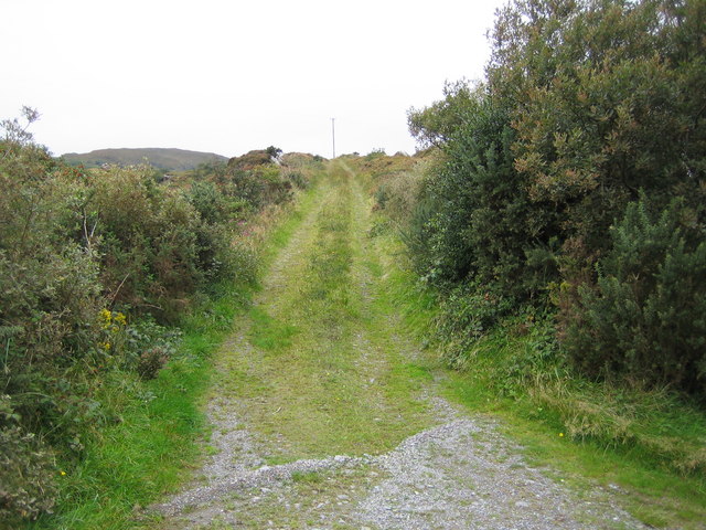
What is recorded here
Clear water bypassed the solid rock and cut a narrow tube through the local stone. The underground passage in Cleanderry is a man-made route, not a random cave, because people directed that water through rock they did not control. They understood pressure, patience and the life of the river better than modern pride often does.
In the NW of the interior [of ringfort (KE014-010----)] is a semi-circular mound that curves in to the bank. A lot of stones are visible. This is possibly the Man-made underground passage (KE014-010001-) that is marked as 'cave' on the 1842 OS map.
The above description is derived from C. Toal, ‘North Kerry Archaeological Survey’. Dingle. Brandon in association with FAS Training and Employment Authority (1995), no. 468. In certain instances the entries have been revised and updated in the light of recent research.
Date of upload: 1 October 2013
The monument record does not grant public access. Check the route and ask the landowner before entering private land.
- What survives
- Recorded monument
Places near here
 Castle (in ruins)Castle, unclassified · 1.2 mi
 Fox FortArchaeological place · 1.2 mi
 CastleCastle, unclassified · 1.3 mi
 Enclosure in MeenogahaneEnclosure · 1.3 mi
 Inshaboy PointHeadland · 1.8 mi
 Pierce's IslandIslet · 2.2 mi
 MineMine, lead · 2.3 mi
 Bridge in CloghaneleeshBridge · 2.4 mi
 Our Lady's Holy WellSpring · 3.3 mi
 Clashmealcon CavesCave · 4.0 mi
 Maulin MountainMountain / peak · 4.5 mi
 Triskbeg MountainMountain / peak · 5.3 mi
Other information
Photo: Credit not shown in the picture search · Rights wording not checked; contact us if this picture should be removed