What is recorded here
Crannog in Clare lies at the SW end of Clare Lough, where a sudden drop in water levels around 1960 revealed a small island and a submerged causeway that could be waded from the shore. By 1985, flooring planks still lay out in plain view, hinting at a deliberate human structure rather than a mere mound of reeds and silt. Overgrowth has since swallowed the planks and the causeway, but the shape of the place remains: a room built for living, then returned to the lake’s patience.
In the SW end of Clare Lough. This possible crannog was first noted c. 1960 when a drop in water levels following drainage works revealed ‘a small island which could be waded out to it on a submerged causeway from the shore’, and in 1985 ‘flooring planks laid out and clearly visible’ were noted here, all now concealed by overgrowth (pers. comm. John Coakley, 2021).
Compiled by: Jane O’Shaughnessy
Date of upload: 12 December 2022
The monument record does not grant public access. Check the route and ask the landowner before entering private land.
- What survives
- Recorded monument
Places near here
 Land of the GiantsHeritage attraction · 386 yd
 IndicatedEnclosure · 402 yd
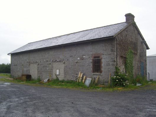 store/warehousestore/warehouse · 419 yd
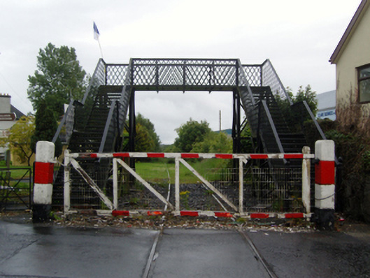 foot bridgefoot bridge · 565 yd
 Enclosure in Rushbrook EastEnclosure · 1595 yd
 Castlemacgarrett HouseCastle · 1.6 mi
 Castlekeel (in ruins)Castle, unclassified · 1.8 mi
 Geoffrey's WoodForest · 1.9 mi
 Oak WoodForest · 2.0 mi
 Cow IslandIslet · 10 mi
 Crane IslandIslet · 10 mi
 Mass RockNamed rock · 13 mi