
What is recorded here
Benvoran Ringfort stands in County Clare, Ireland, preserving a circular boundary that likely enclosed homes, sheds or sacred ground during the medieval period. The earthworks still mark the edge of a lost neighbourhood where people herded animals, stored grain and argued about borders under open skies. Much of its daily life has vanished, but the fort itself remains a visible claim that ordinary humans once shaped that landscape before forgetting erased their names.
Benvoran Ringfort is recorded as a archaeological place in County Clare. Its open map record supplies this location and any linked names or public references.
Places near here
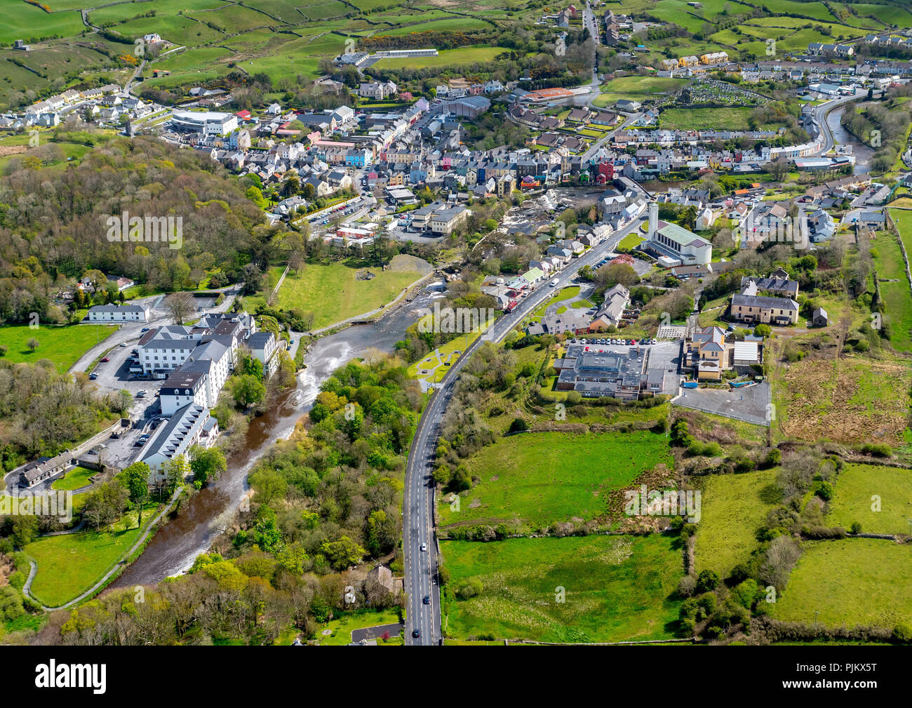 LisnalannavFairy fort / earthen ringfort · 1596 yd
 Enclosure in Cross MoreEnclosure · 1662 yd
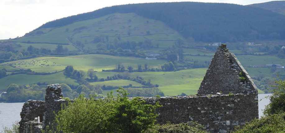 Derrycrossaun Castle (Site of)Castle, unclassified · 1.8 mi
 Clonderalaw Castle (in Ruins)Castle, unclassified · 2.7 mi
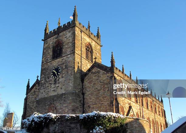 St Michaels Church (in Ruins)Church · 2.9 mi
 Crag WoodWood · 3.0 mi
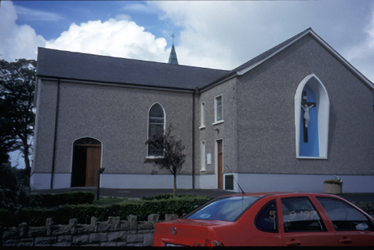 Catholic Church of Saint Michael the Archangelchurch/chapel · 3.1 mi
 Clonderalaw BayBay · 4.0 mi
 Labasheeda QuayVisitor information · 4.7 mi
 Mountshannon EstateHeritage attraction · 4.7 mi
 Labasheeda PointHeadland · 4.8 mi
 St Senan's WellSpring · 5.2 mi
Other information
Photo: Credit not shown in the picture search · Rights wording not checked; contact us if this picture should be removed