What is recorded here
The official Northern Ireland record identifies this as BURNT MOUND. Recorded period: UNCERTAIN; PREHISTORIC. The official map point was placed at the centre of the recorded archaeological site from the source map reference.
A burnt mound; likely dating to the Neolithic or Bronze Age. These features are commonly associated with ritual or industrial activities, such as heat-treated stone use in cooking or ceremonial contexts.
The monument record does not grant public access. Check the route and ask the landowner before entering private land.
- What survives
- Recorded monument
Places near here
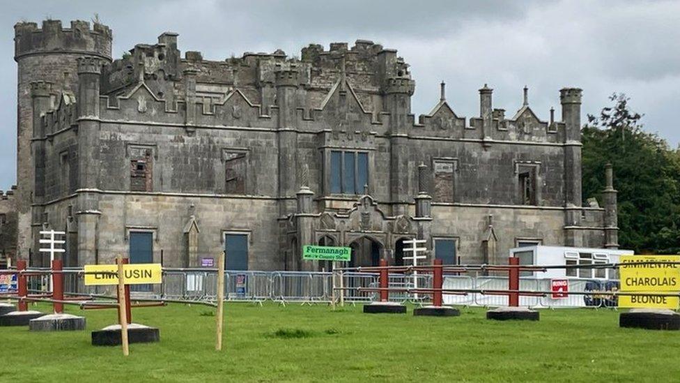 ENCLOSURE in CreevehillENCLOSURE · 2.1 mi
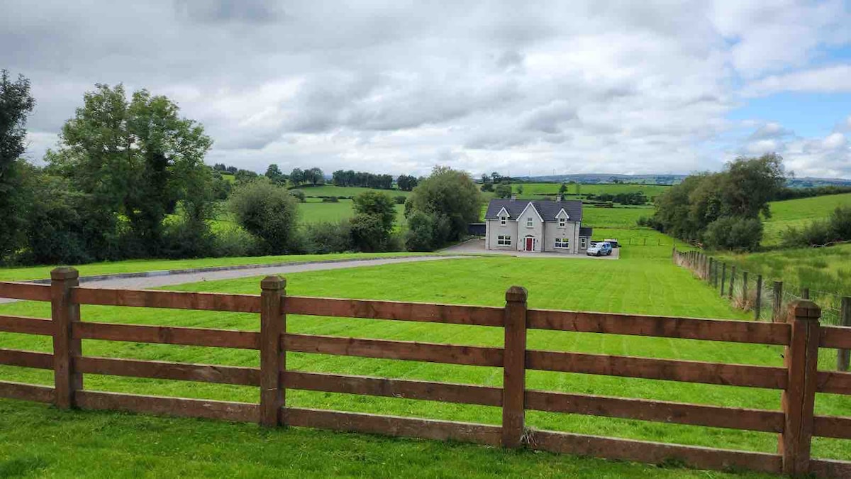 OVAL ENCLOSURE in PubbleOVAL ENCLOSURE · 2.2 mi
 Pubble ForestForest · 2.4 mi
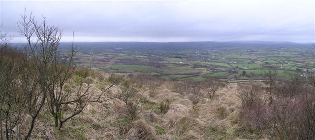 Brougher MountainMountain / peak · 3.0 mi
 Doocarn WoodWood · 3.1 mi
 Topped MountainMountain / peak · 3.9 mi
 Methodist ChurchChurch · 4.6 mi
 "Fivemiletown Deli" G8 Virtual ShopHeritage attraction · 4.7 mi
 Lady Brooke Memorial HallHall · 4.7 mi
 The Station House, BrookeboroughHeritage attraction · 4.8 mi
 C17th DEFENDED HOUSE & BAWN: TRILLICK CASTLE in Castlemervyn DemesneC17th DEFENDED HOUSE & BAWN: TRILLICK CASTLE · 6.0 mi
 MULTIPERIOD CHURCH & GRAVEYARD in MagheracrossMULTIPERIOD CHURCH & GRAVEYARD · 6.2 mi