What is recorded here
On natural low hill in area of undulating land. Barely visible outline of a large circular enclosure (approx. diam. 50m). No other features visible. Aerial photographs (GSI, N 557/6; OSO 3010088) shows outline of large circular enclosure. Depicted as an irregularly shaped enclosure on the 1840 edition of the OS 6-inch map.
The above description is derived from the published 'Archaeological Inventory of County Offaly' (Dublin: Stationery Office, 1997). In certain instances the entries have been revised and updated in the light of recent research.
Date of upload: 23 May 2011
The monument record does not grant public access. Check the route and ask the landowner before entering private land.
- What survives
- Recorded monument
Places near here
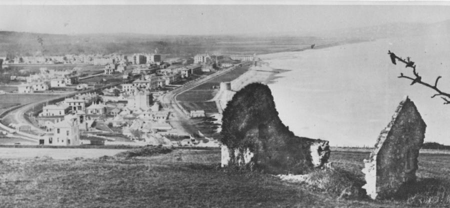 Enclosure in Raheen (kilcoursey By.)Enclosure · 509 yd
 Enclosure in ClaraEnclosure · 523 yd
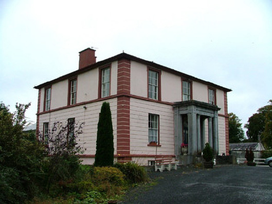 Clara Househouse · 946 yd
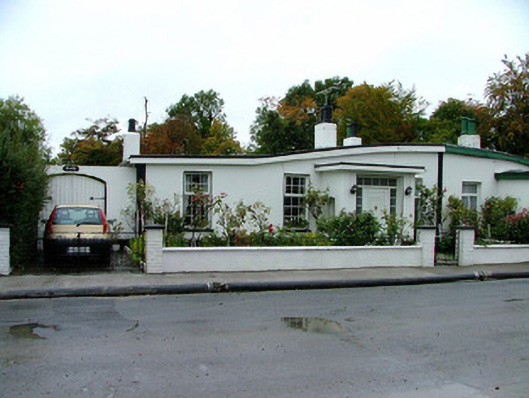 Rosslynhouse · 1083 yd
 Chapel HillForest · 1448 yd
 ToberaskeenSpring · 1.3 mi
 Kilcoursey Castle (in Ruins)Bawn · 1.3 mi
 Roughan HillMountain / peak · 1.7 mi
 Gorteen CastleCastle, unclassified · 1.7 mi
 Clara Bog BoardwalkHeritage attraction · 1.8 mi
 Inchaloon IslandIslet · 2.2 mi
 Kilmalady HillMountain / peak · 2.3 mi