What is recorded here
In lowlying ground. Uncovered in 1992 during agricultural works and excavated in the same year by Cahill on behalf of the National Museum of Ireland. Approximately rectangular short cist (dims. 0.87m NW-SE; 0.4m NE-SW; D 0.45m) whose sides are defined principally by five slabs set on edge. The NW, SW and SE sides each comprised a single slab and the NE two. The floor was partially paved with slabs. The capstone, which had removed during agricultural works resulting in the discovery of the monument, was a large subrectangular slab (dims. 1.3m x 1.2m; D 0.1m). The sides of the pit, which had been dug to house the cist, appear to have been lined with clay. The cremated remains of a sub-adult, aged 14 to 16 (1992:15.1) within a damaged inverted collared urn (1992:13) were uncovered. During post-excavation work a bone toggle and cowrie shells were identified within the cremation. The cremation yielded a date of 1260–930 BC while a sample of charcoal was dated to 1947–1751 BC. Brindley (2007, 137) believed the former date is erroneous and noted that the urn dates to the period 1800-c.1700 BC. (Cahill and Sikora, Vol. 1, 435-449).
Compiled by: Patrick F. O'Donovan
Date of upload: 28 February 2013
A rectangular short cist, likely Bronze Age in date, significant as a small burial monument typical of early funerary practices in Ireland.
The monument record does not grant public access. Check the route and ask the landowner before entering private land.
- What survives
- Recorded monument
Places near here
 LisheenFairy fort / earthen ringfort · 929 yd
 Teamplenagalliaghdoo (Site of)Religious house, unclassified · 1007 yd
 Bawn in DoonforeBawn · 1.1 mi
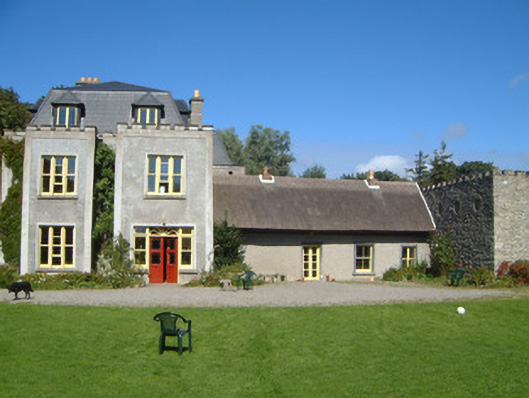 Ardtarmon Housecountry house · 1.1 mi
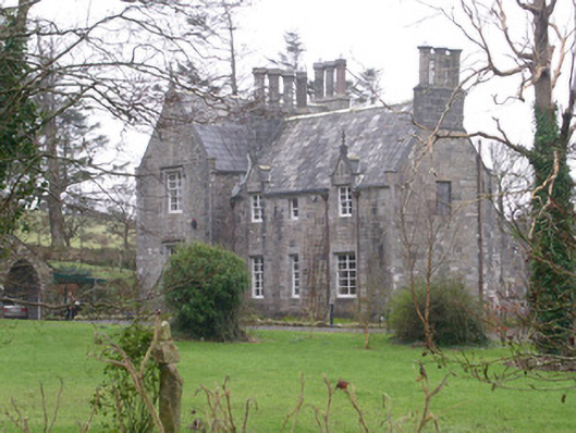 The Rectoryrectory/glebe/vicarage/curate's house · 1.3 mi
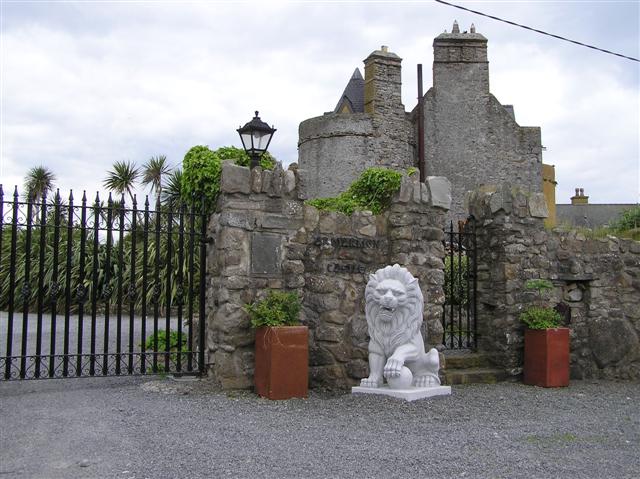 Bawn in ArdtermonBawn · 1.3 mi
 Ardtermon StrandBeach / strand · 1.6 mi
 Forester's WoodForest · 1.7 mi
 Yellow StrandBeach / strand · 1.8 mi
 Church Hill WoodWood · 2.1 mi
 Horse IslandIslet · 2.3 mi
 Coastguard StationRuins · 2.4 mi