What is recorded here
Situated on a low natural rise in a valley in undulating countryside. Listed in the ecclesiastical taxation of the Diocese of Cashel in 1302 (CDI, vol. 5, 281). Partial wall-footings of a church site (TN025-077001) are visible in the E sector of a graveyard with N-S rows of unmarked headstones to the W of the church site. There are eighteenth and nineteenth-century headstones in the graveyard enclosed by a modern sandstone wall. Topsoil around the church site has been removed and a footpath has been inserted to the W of the church in recent times.
Compiled by: Caimin O'Brien.
Date of upload: 22 September 2008
This remains an important historical record, but the official description says the monument is no longer visible or has been destroyed. The monument record does not grant public access. Check the route and ask the landowner before entering private land.
- What survives
- No visible remains or recorded as destroyed
Places near here
 Church, Grave Yd.Church · 1 yd
 Enclosure in KilmastullaEnclosure · 786 yd
 St. Conans WellHoly well · 1222 yd
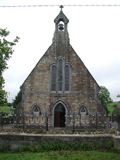 Saint Joseph's Catholic Churchchurch/chapel · 1.2 mi
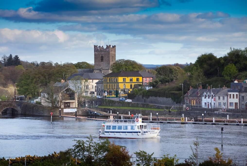 Cloghaneena (in ruins)Castle, hall-house · 2.1 mi
 The Pollagh TrailNature reserve · 2.1 mi
 CastleCastle, unclassified · 2.3 mi
 Doonan's HillMountain / peak · 2.3 mi
 My Next AdventureHeritage attraction · 2.4 mi
 Brian Boru Heritage CentreVisitor information · 2.5 mi
 Brian Boru FortHeritage attraction · 3.4 mi
 Seagull IslandIslet · 4.0 mi