What is recorded here
Childrens Burial Ground is a slightly raised oblong pasture in County Mayo, Ireland, where low stones still protrude randomly through gorse and brambles. The 1920 map named it, but the 1838 map did not, suggesting the boundary faded or changed before surveyors returned. It overlookes boggy ground from a ridge, giving the small graves a distant, exposed dignity rather than a hidden one.
In rough pasture, located on a NW–SE ridge, close to the break of slope on the SW side. Good views, overlooking an expanse of lowlying, boggy ground at SW–NW.
Not indicated on the 1838 OS 6-inch map; shown on the 1920 edition as an oblong area outlined by a dashed line and named ‘Children’s Burial Ground’.
A slightly raised, oblong area (c. 15m ENE–WSW; c. 8m NNW–SSE; H 0.3m) with poorly defined sides, except at NNW where it is bordered by a straight field ditch and field fence on a NE−SW axis. Low stones, possibly marking graves, protrude randomly from the level surface. Rather dilapidated; engulfed in gorse, clumps of brambles and long grass.
Compiled by: Jane O’Shaughnessy
Date of upload: 9 February 2022
The monument record does not grant public access. Check the route and ask the landowner before entering private land.
- What survives
- Recorded monument
Places near here
 Cloonboy Housefarm house · 1381 yd
 IndicatedEnclosure · 1.1 mi
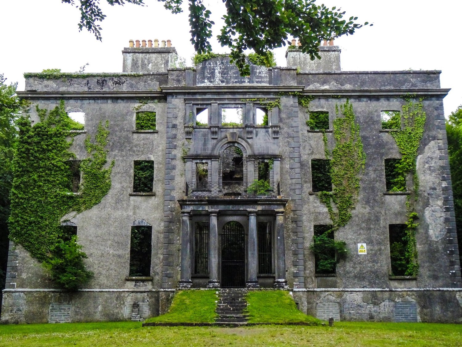 Enclosure in An Goirtín MórEnclosure · 1.1 mi
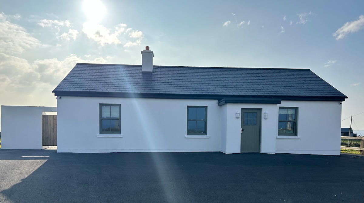 Bawn in KnockaunakillBawn · 1.2 mi
 bridgebridge · 1.5 mi
 CastleCastle, ringwork · 1.9 mi
 Land of the GiantsHeritage attraction · 3.3 mi
 Geoffrey's WoodForest · 5.3 mi
 Oak WoodForest · 5.5 mi
 Cow IslandIslet · 9.8 mi
 Crane IslandIslet · 9.9 mi
 LismalourArchaeological place · 1.5 mi