What is recorded here
Killacrim children's burial ground disappeared under an orchard when a landowner ploughed out the remaining site. The 1841-42 map still named it Kyle Burial Ground, but the later map weakened that claim into a ghost: site of. Apple roots may hold what plough teeth took from sand and stone.
Marked on the 1841-42 OS map as 'Kyle Burial Ground' (Cill) and on the later edition it is 'Kyle Burial Ground (site of) '. The landowner states that he ploughed out the remainder of this site about 15 years ago and planted an orchard there.
The above description is derived from C. Toal, ‘North Kerry Archaeological Survey’. Dingle. Brandon in association with FAS Training and Employment Authority (1995), no. 856. In certain instances the entries have been revised and updated in the light of recent research.
Date of upload: 3 August 2013
The monument record does not grant public access. Check the route and ask the landowner before entering private land.
- What survives
- Recorded monument
Places near here
 Fulacht fia in FinugeFulacht fia · 1069 yd
 LisnaboorheeArchaeological place · 1101 yd
 Billeragh Househouse · 1.9 mi
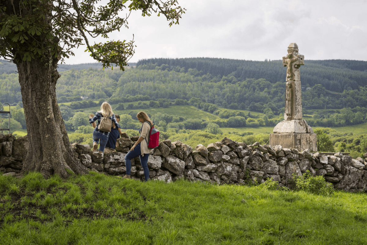 Dysert Church (in ruins)Church · 1.9 mi
 Listowel Castle (in ruins)Castle, tower house · 3.1 mi
 Kerry Writers' MuseumMuseum · 3.1 mi
 Lartigue MonorailMuseum · 3.1 mi
 Bryan MacMahonMemorial · 3.1 mi
 John B. Keane GroveMemorial · 3.1 mi
 CastleCastle, Anglo-Norman masonry castle · 3.6 mi
 Kilflynn Nature ReserveNature reserve · 6.2 mi
 KnockanoreMountain / peak · 7.0 mi