What is recorded here
Mortons and others lived beside the fort for centuries, perhaps taking water from the river or passing through the valley without knowing the circular platform watched them. The fort may have marked a boundary, a home, a meeting place or a forgotten warning, but its entrance and purpose have faded behind grass and time. What remains is a shallow scar on a rise above the Owenmore, large enough to hold a life and quiet enough to disappear when nobody remembers it.
Indicated as a circular enclosure described as a 'Fort' on the 1835 ed. of the OS 6-inch map. It is situated on a rise on the floor of Glenfarne valley with an E-W section of the Owenmore River c. 50m to the S. This is a grass-covered circular platform (diam. c. 44m) defined by an indistinct scarp (H 0.2-0.4m). There is no visible fosse and the original entrance is not identified.
The above description is derived from 'The Archaeological Inventory of County Leitrim' compiled by Michael J. Moore (Dublin: Stationery Office, 2003). In certain instances the entries have been revised and updated in the light of recent research.
Date of upload: 23 September 2008
The monument record does not grant public access. Check the route and ask the landowner before entering private land.
- What survives
- Recorded monument
Places near here
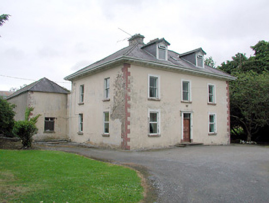 Brookfield Housefarm house · 301 yd
 CashelaveelaFairy fort / earthen ringfort · 960 yd
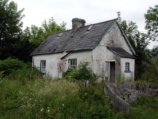 worker's houseworker's house · 1020 yd
 Not indicatdFairy fort / earthen ringfort · 1035 yd
 The Giants GraveArchaeological place · 2.2 mi
 Dough MountainMountain / peak · 2.3 mi
 Giants RockNamed rock · 2.7 mi
 Saddle HillMountain / peak · 2.9 mi
 Kilroosk RockNamed rock · 3.0 mi
 Ashisland WoodForest · 3.9 mi
 Longhill WoodForest · 4.2 mi
 Castle CarCastle · 4.9 mi