What is recorded here
In a rath (MA070-131001-)
This Man-made underground passage is indicated as ‘Cave’ in the NE quadrant of the rath on the 1838 OS 6-inch map; it is not shown on later map editions.
When inspected in 2021, an opening into the Man-made underground passage was located in a copse of hazel and hawthorn in the SE qudarant of the ringfort. A lintel-roofed creep (L 3.2m NNE/SSW; Wth 0.7m; H 0.9m) leads down into a chamber. The chamber (4.8m NNE-SSW; W 2.7m; H 2.0m) is of drystone construction with a corbelled roof. The floor is strewn with loose rubble. A recess/niche (W 0.36m; H 0.36m; D 1.85m) is built into the wall at a height of 0.78m above the floor level at the NNE end of the chamber. Immediately to W of the recess there is an lintelled opening (W 0.56m; H 0.56m) at a height of 0.36m above floor level into a passage, which extends to NNE but is partly collapsed. (Pers. comm. Richard Crumlish).
Attached images are provided courtesy of Richard Crumlish:
MA070-131002-_01.JPG Entrance to Man-made underground passage
MA070-131002-_02.JPG Rubble-strewn interior of chamber
MA070-131003-_03.JPG Opening into passage at NNE end of chamber, with wall recess above it at R.
Compiled by: Jane O’Shaughnessy
Date of upload: 13 August 2021
The monument record does not grant public access. Check the route and ask the landowner before entering private land.
- What survives
- Recorded monument
Places near here
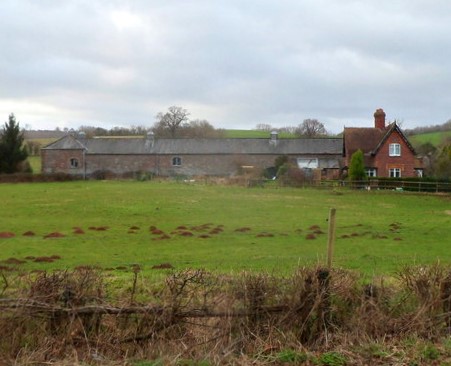 IndicatedFairy fort / ringfort · 12 yd
 bridgebridge · 726 yd
 Greenvillefarm house · 786 yd
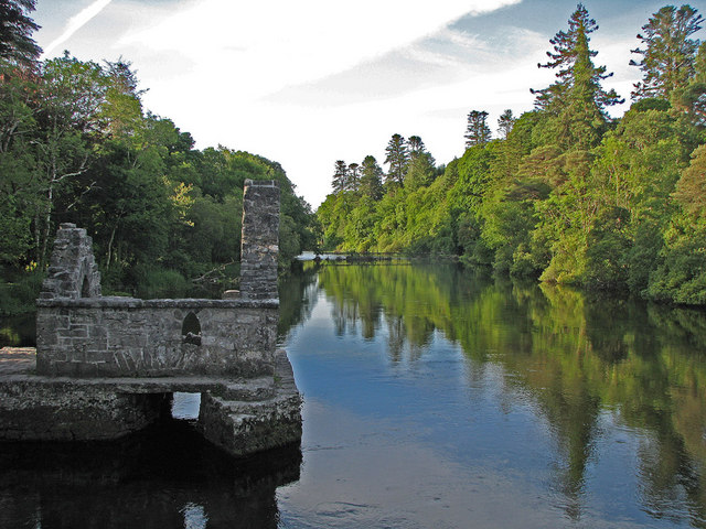 River WoodWood · 1342 yd
 TowerRound tower · 1437 yd
 CastleCastle, unclassified · 1476 yd
 Sunken GardenWood · 1587 yd
 National Museum of Ireland, Country LifeMuseum · 1603 yd
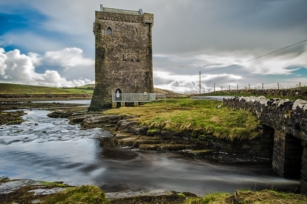 Moyhenna Castle in ruinsCastle, unclassified · 2.2 mi
 Battle of CastlebarMajor battlefield · 3.5 mi
 Saint John Baptist de La SalleMemorial · 3.7 mi
 1798 MemorialMemorial · 3.8 mi