What is recorded here
In a rath (MA062-087001-).
A Man-made underground passage is indicated on the 1837 and 1919 OS 6-inch maps as ‘Cave’ in the S half of the rath. There is a cavity (max. dim. c. 1m at top; D 1.2m) close to the enclosing scarp at the S edge of the rath interior. At the time of visit this was blocked by wooden pallet. On the N side of the cavity, at a depth of 0.8m below the surface, an opening to a stone-built passage can be seen. The opening is roofed by a stone lintel which rests on side walls constructed of large boulders. The passage extends through the interior to N. An area of surface subsidence, partly caused by animal burrows, located c. 5m to N may follow the line of the passage; a large stone slab visible in one of the burrows may be a lintel.
Compiled by: Jane O’Shaughnessy
Date of upload: 7 December 2020
The monument record does not grant public access. Check the route and ask the landowner before entering private land.
- What survives
- Recorded monument
Places near here
 IndicatedFairy fort / earthen ringfort · 369 yd
 ToberbrideHoly well · 890 yd
 Brabazon WoodsForest · 998 yd
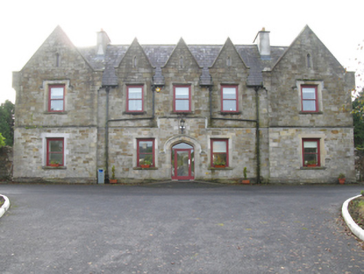 Swinford Union Workhouseworkhouse · 1179 yd
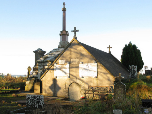 mausoleummausoleum · 1221 yd
 Procession Of The SoulsMemorial · 1232 yd
 Youth Memorial GardenMemorial · 1.0 mi
 HawthornHawthorn · 2.9 mi
 Castle (in Ruins)Castle, unclassified · 3.2 mi
 Hennigan's Heritage CentreHeritage attraction · 3.3 mi
 Thorn CaveCave · 3.6 mi
 Kiltimagh MuseumMuseum · 6.8 mi