
What is recorded here
No visible trace survives in the pastureland now, but the Cave once cut through the eastern edge of a possible rath before the Great Southern Railways line severed its western half. It may have been a hidden passage for people, animals or thought, and the railway simply overwrote what the land had kept private. Forgetting is not the same as erasure. The name still appears on old surveys, proving the place resisted disappearance even when the entrance vanished.
In pastureland. Named 'Cave' and depicted within the E sector of a possible rath (GA104-016----) on the 1838 edition of the OS 6-inch map. On the OS 1:2500 plan (surveyed 1912-16) it is named and shown immediately to the SE of the trackway of a 'Great Southern Railways' line that ran NE-SW cutting through the NW half of the rath. No visible surface trace survives.
Compiled by: Olive Alcock
Date of upload: 17 July 2019
The monument record does not grant public access. Check the route and ask the landowner before entering private land.
- What survives
- Recorded monument
Places near here
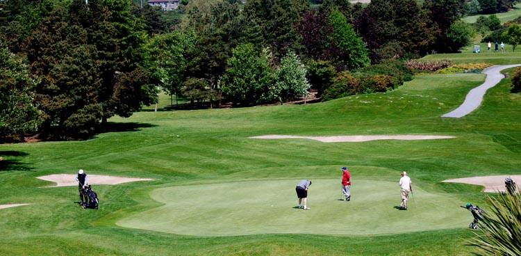 Field system in Ballybaun (dunkellin By.)Field system · 572 yd
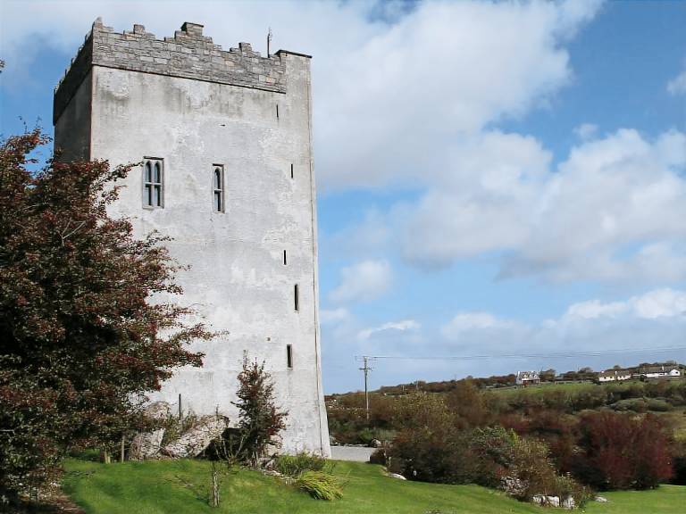 IndicatedFairy fort / stone ringfort · 598 yd
 Cregaclarefarmyard complex · 1276 yd
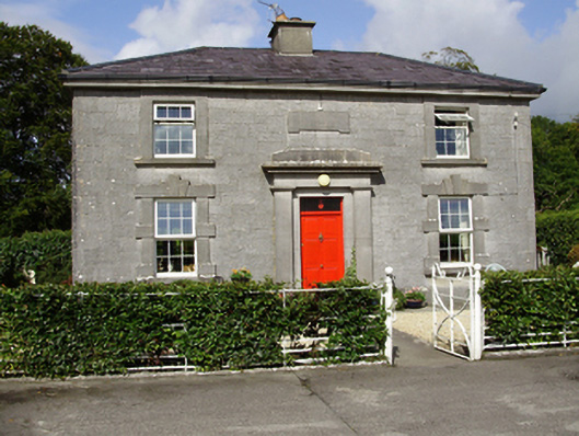 Castle Taylorsteward's house · 1504 yd
 Cloghroak Castle (in ruins)Castle, tower house · 1.0 mi
 Castle (in ruins)Castle, Anglo-Norman masonry castle · 1.3 mi
 Drumharsna CastleHeritage attraction · 3.2 mi
 HawthornHawthorn · 3.9 mi
 European ashEuropean ash · 3.9 mi
 Mulroney's IslandIslet · 7.0 mi
 Mweenish PointHeadland · 8.2 mi
 Traught BeachBeach / strand · 8.5 mi
Other information
Photo: Credit not shown in the picture search · Rights wording not checked; contact us if this picture should be removed