What is recorded here
Mapped graveyard is a graveyard in County Cavan, Ireland. Perhaps the graves stand close together because the land was narrow and the dead arrived quickly. Maybe the rain fills the hollows each winter and the water carries names no one speaks anymore. Imagine a person walking the edge at dusk, not lost but listening for the shape of a voice beneath the grass.
Mapped graveyard is a graveyard in County Cavan, Ireland.
Places near here
 Cross in Trinity IslandCross · 6 yd
 Trinity Island WoodForest · 608 yd
 Abbey FieldChurch · 1287 yd
 IndicatedFairy fort / earthen ringfort · 1674 yd
 Danesfort DemesneWood · 1.2 mi
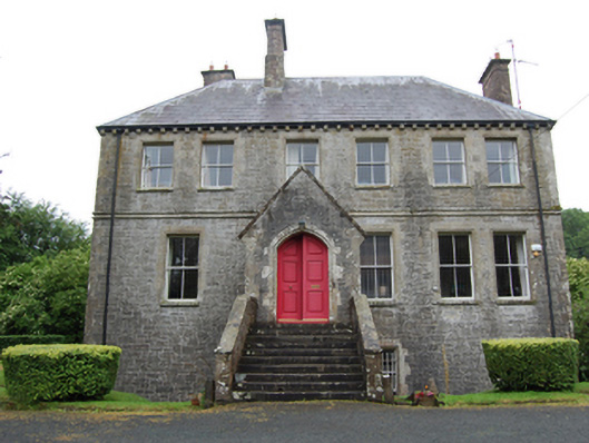 The Deaneryrectory/glebe/vicarage/curate's house · 1.3 mi
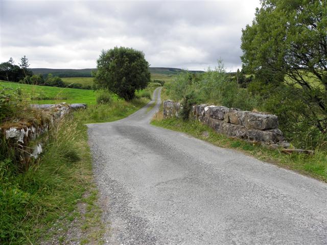 Derries UpperMountain / peak · 1.3 mi
 Inch IslandIslet · 1.4 mi
 Lough OughterLake and island landscape · 1.5 mi
 Killykeen Forest ParkForest · 1.5 mi
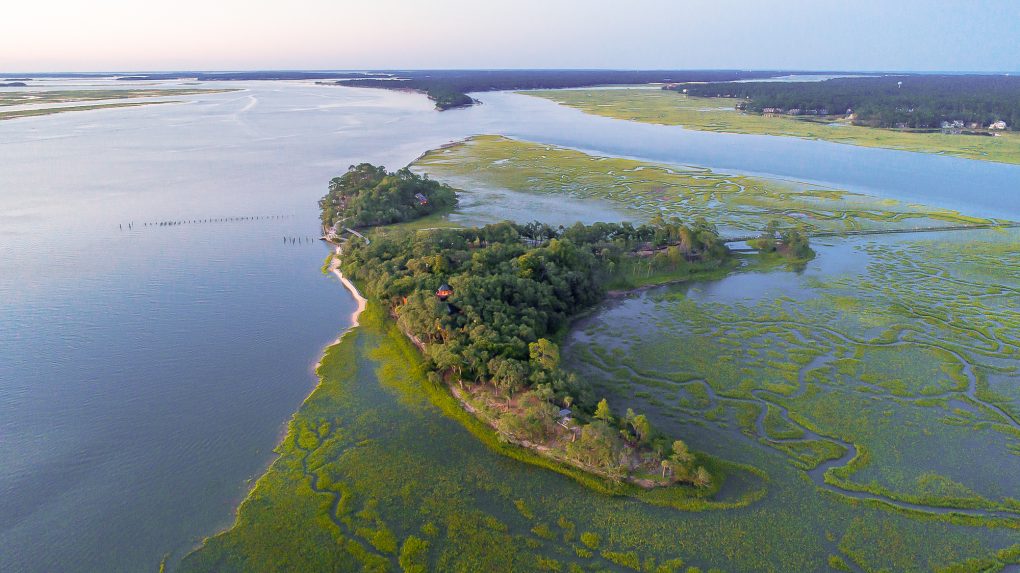 Buck IslandIslet · 1.6 mi
 Woodenhouse BayBay · 1.7 mi