What is recorded here
Completely enclosed by marshy ground, in an area of extremely poor, peaty soil. Ground rises slightly immediately to the NE. Excellent long-range visibility to SW, down the valley. Surface supply of water. The foundations of a small square building (dims. 3m x 3m) within the W angle of the bawn (KK015-014001-). It is defined by an earthen bank (Wth c. 0.7m; H 0.5m). There are the foundations of a number of outer buildings (KK015-014003-) in the S quadrant, including a larger building which may be the remains of Castle Warren (KK015-014002-) which is indicated on the 6-inch OS maps.
Compiled by: Jean Farrelly
Date of upload: 24 February 2016
The monument record does not grant public access. Check the route and ask the landowner before entering private land.
- What survives
- Recorded monument
Places near here
 IndicatedEnclosure · 731 yd
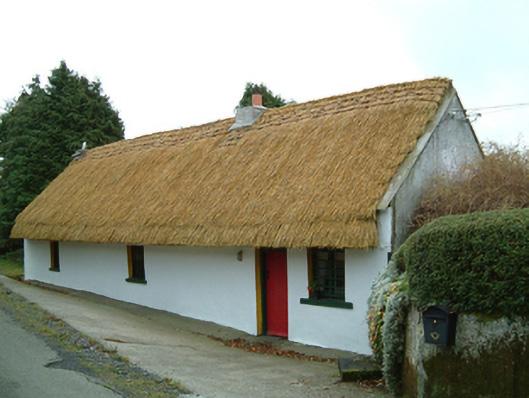 Maherhouse · 1322 yd
 Saint Scuithin's Catholic Churchchurch/chapel · 1618 yd
 St. Scoheens WellHoly well · 1.5 mi
 Freneystown CastleCastle, tower house · 1.7 mi
 St. Mogarra’s WellSpring · 2.6 mi
 SycamoreSycamore · 2.8 mi
 Clara CastleCastle, tower house · 2.8 mi
 Gleann Dick ForestForest · 3.0 mi
 Saint Molagga's WellSpring · 5.8 mi
 Edward BurkeMemorial · 5.9 mi
 Time CapsuleMemorial · 8.2 mi