What is recorded here
Indicated is a circular rath in level Galway pastureland, thirty-one and a half metres across. Its earth bank still stands, marked by a faint outer ditch at the south and west and old stone traces at the southwest. The eastern gap, three metres wide, invites entry into a forgotten middle age when people shaped that land for living.
In level pastureland. Circular rath (diam. 31.5m), in fair condition, defined by a bank and external fosse; the latter is only visible at S and W. Traces of stone-facing are evident along the bank at SW. There is an entrance gap (Wth 3.2m) at E. (McCaffrey 1952, 224, no. 13)
Compiled by: Galway Archaeological Survey, UCG
Date of upload: 24 November 2017
The monument record does not grant public access. Check the route and ask the landowner before entering private land.
- What survives
- Recorded monument
Places near here
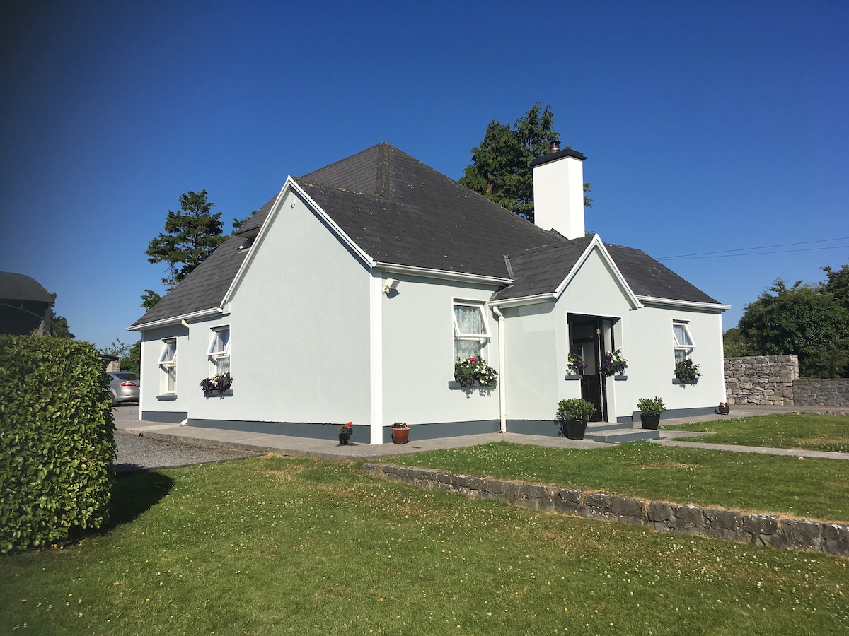 Hut site in Castletaylor SouthHut site · 4 yd
 Field system in Ballybaun (dunkellin By.)Field system · 785 yd
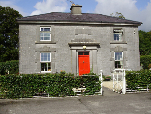 Castle Taylorsteward's house · 788 yd
 Cregaclarefarmyard complex · 1.1 mi
 Cloghroak Castle (in ruins)Castle, tower house · 1.3 mi
 Castle (in ruins)Castle, Anglo-Norman masonry castle · 1.4 mi
 Drumharsna CastleHeritage attraction · 3.1 mi
 HawthornHawthorn · 4.2 mi
 European ashEuropean ash · 4.2 mi
 Drumacoo Monastic SiteHeritage attraction · 5.0 mi
 Mulroney's IslandIslet · 6.7 mi
 Goose IslandIslet · 9.1 mi