
What is recorded here
The official Northern Ireland record identifies this as possible MOTTE SITE; MULTIPERIOD CASTLE SITE: LISANOURE CASTLE or LOUGH GUILE CASTLE or LOUGH KEOULLE. Recorded period: POST-MED; UNCERTAIN; MED/L.MED. The official map point was placed at the centre of the recorded archaeological site from the source map reference.
The monument record does not grant public access. Check the route and ask the landowner before entering private land.
- What survives
- Recorded monument
Places near here
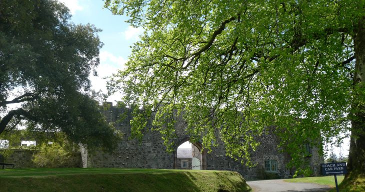 Lisanoure CastleCastle · 62 yd
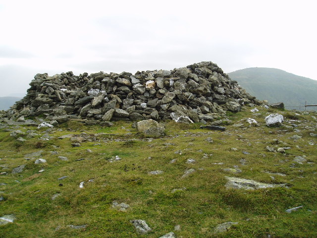 LARGE ENCLOSURE in DrumbestLARGE ENCLOSURE · 2.0 mi
 CROSS-CARVED STONE in Ballyknock BigCROSS-CARVED STONE · 2.1 mi
 Ballylough Big HillMountain / peak · 2.2 mi
 CASTLE & possible Man-made underground passage in KilraghtsCASTLE & possible Man-made underground passage · 3.2 mi
 SlievenahanaghanMountain / peak · 3.5 mi
 Slieveanorra ForestForest · 4.4 mi
 Causeway Coast and Glens Heritage TrustVisitor information · 5.2 mi
 PRE-NORMAN CHURCH & ROUND TOWER; MEDIEVAL PARISH CHURCH; POST-MEDIEVAL CHURCH & GRAVEYARD: ARMOY CHURCH & ROUND TOWER in GlebePRE-NORMAN CHURCH & ROUND TOWER; MEDIEVAL PARISH CHURCH; POST-MEDIEVAL CHURCH & GRAVEYARD: ARMOY CHURCH & ROUND TOWER · 5.6 mi
 The Dark HedgesViewpoint · 5.8 mi
 Gracehill HouseHouse · 6.1 mi
 Breen ForestForest · 6.3 mi
Other information
Photo: Credit not shown in the picture search · Rights wording not checked; contact us if this picture should be removed