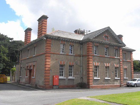
What is recorded here
Detached symmetrical seven-bay two-storey Queen Anne Revival style library, built c.1910, with pedimented three-bay breakfront and two rear returns forming U-plan. Now in use as offices. Hipped natural slate roof with terracotta ridge tiles, lead valleys, moulded cast-iron guttering to bracketed and sheeted overhanging eaves, and cast-iron downpipes. Tall channel-rusticated red brick chimneystacks with limestone ashlar cornices breaking through eaves to both side elevations and further stack to one return. Roughcast rendered walls with chamfered red brick plinth course and channel-rusticated red brick quoins. Timber bracketed eaves span breakfront and gable forming full pediment with oeil-de-boeuf and multiple-pane light. Gauged brick square-headed window openings with three limestone keystones to each opening, and limestone sills. Sills to first floor set flush to continuous brick sill course, painted to ground floor openings. Original six-over-six pane timber sliding sash windows with ogee horns and cylinder glass. Principal entrance to west side elevation set in red brick panel flanked by window openings (detailed as above) having replacement timber pnnelled door with glazed upper section, lead-lined canopy supported on scrolled iron brackets, and four-pane overlight. Door opens onto limestone step with cast-iron bootscraper. Further square-headed door opening to east elevation set in similar red brick panel without flanking windows and opening onto limestone step with cast-iron bootscraper. Returns abutted by single-storey flat-roof projections with small paved yard enclosed by tall roughcast rendered wall.
Built as a library serving the Ordnance Survey complex, this building is a typical example of Edwardian period Queen Anne Revival style. The combination of brick and render with limestone trims, is a common palette of the early twentieth century, and the building retains all its original external fabric. Part of a wider collection of impressive buildings on the Ordnance Survey site, it is part of a group representing architectural styles from the early eighteenth to the early twentieth centuries.
This does not grant access. Most recorded buildings are privately owned; view them only from public ground unless the owner allows entry.
Places near here
 Mountjoy BarrackHouse, 16th/17th century · 111 yd
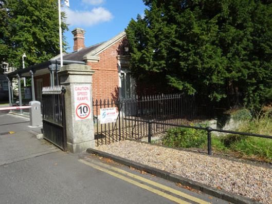 Ordnance Survey Irelandha ha · 205 yd
 Bunchloch (Foundation Stone)Monument · 400 yd
 National Famine WayWalking route · 590 yd
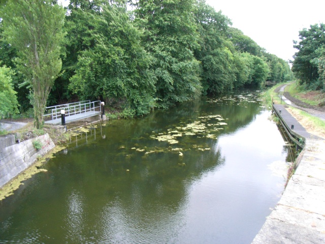 The Royal Canal WayWalking route · 595 yd
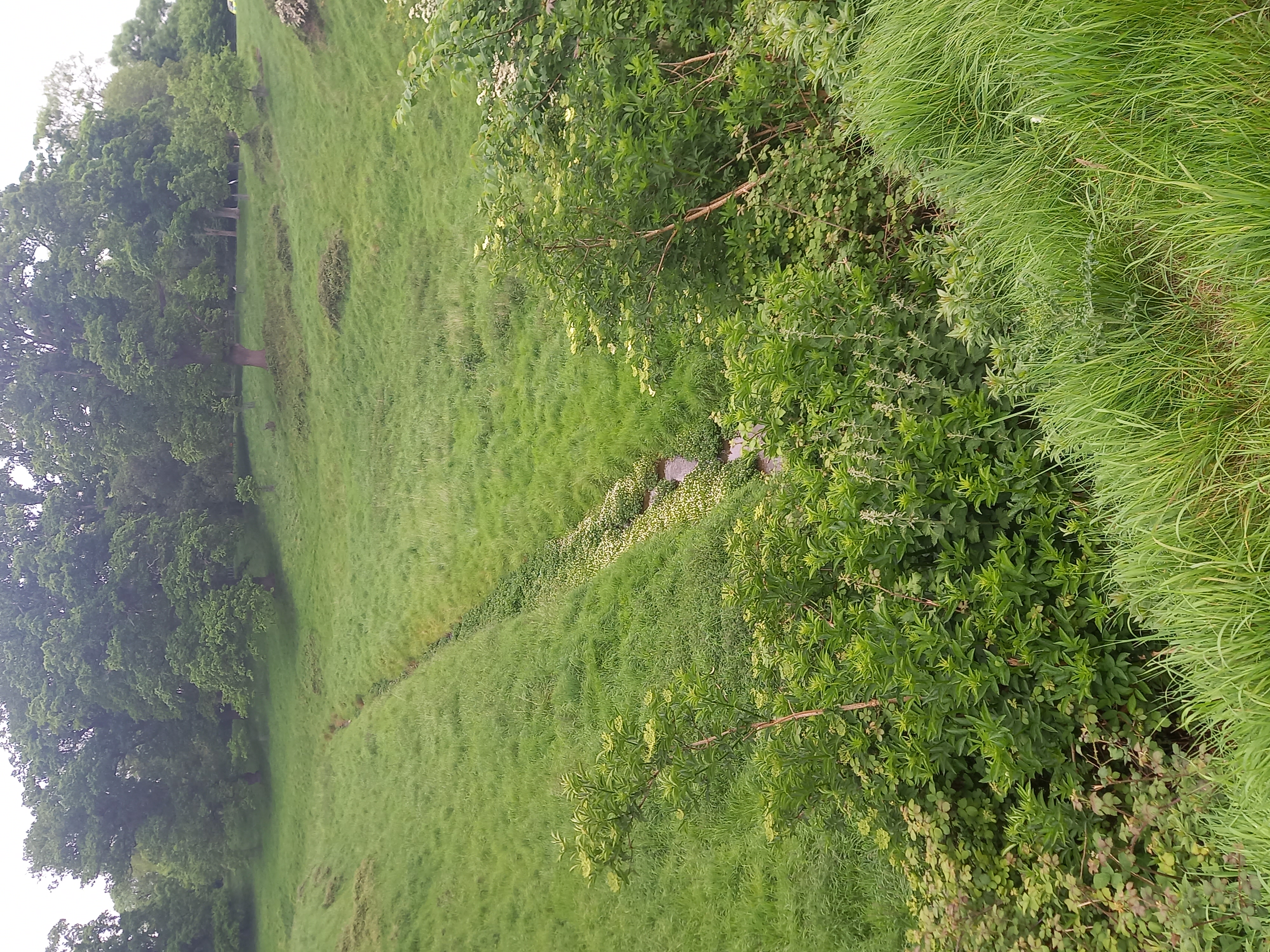 Furry GlenWood · 778 yd
 Oldtown WoodWood · 878 yd
 ExcavationExcavation, miscellaneous · 1121 yd
 Graveyard in Palmerstown LowerGraveyard · 1266 yd
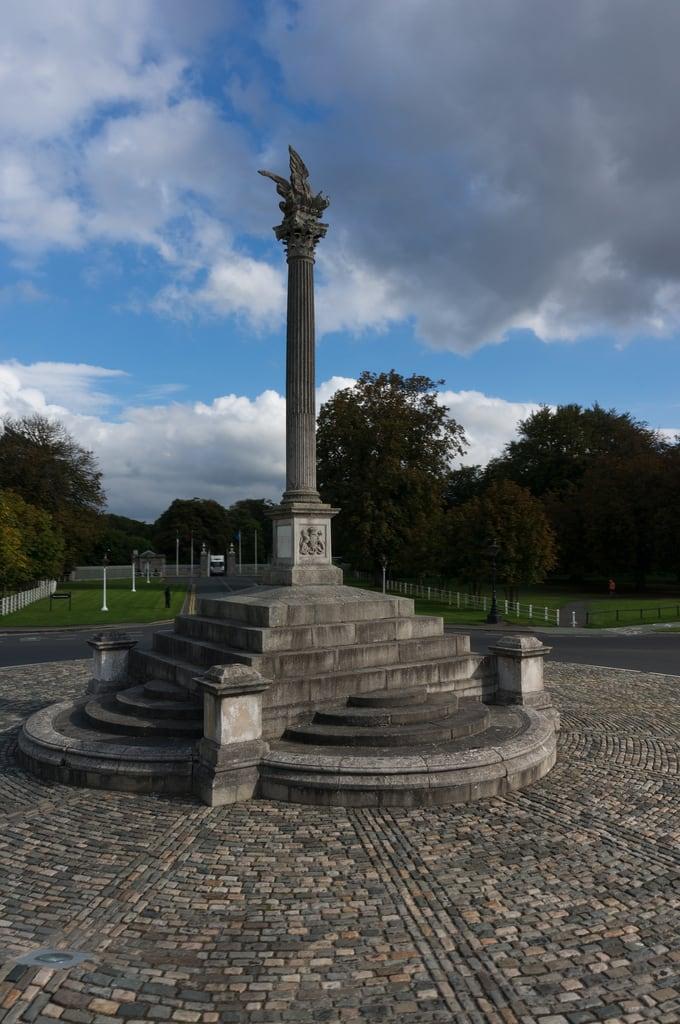 Martin Savage Memorial MonumentMonument · 1526 yd
 Castleknock CastleCastle · 1581 yd
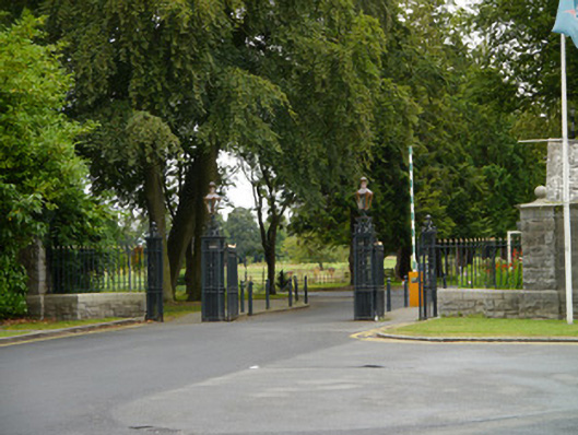 Farmleighgates/railings/walls · 290 yd
Other information
Photo: National Inventory of Architectural Heritage · Website use allowed for educational or private purposes with source credit